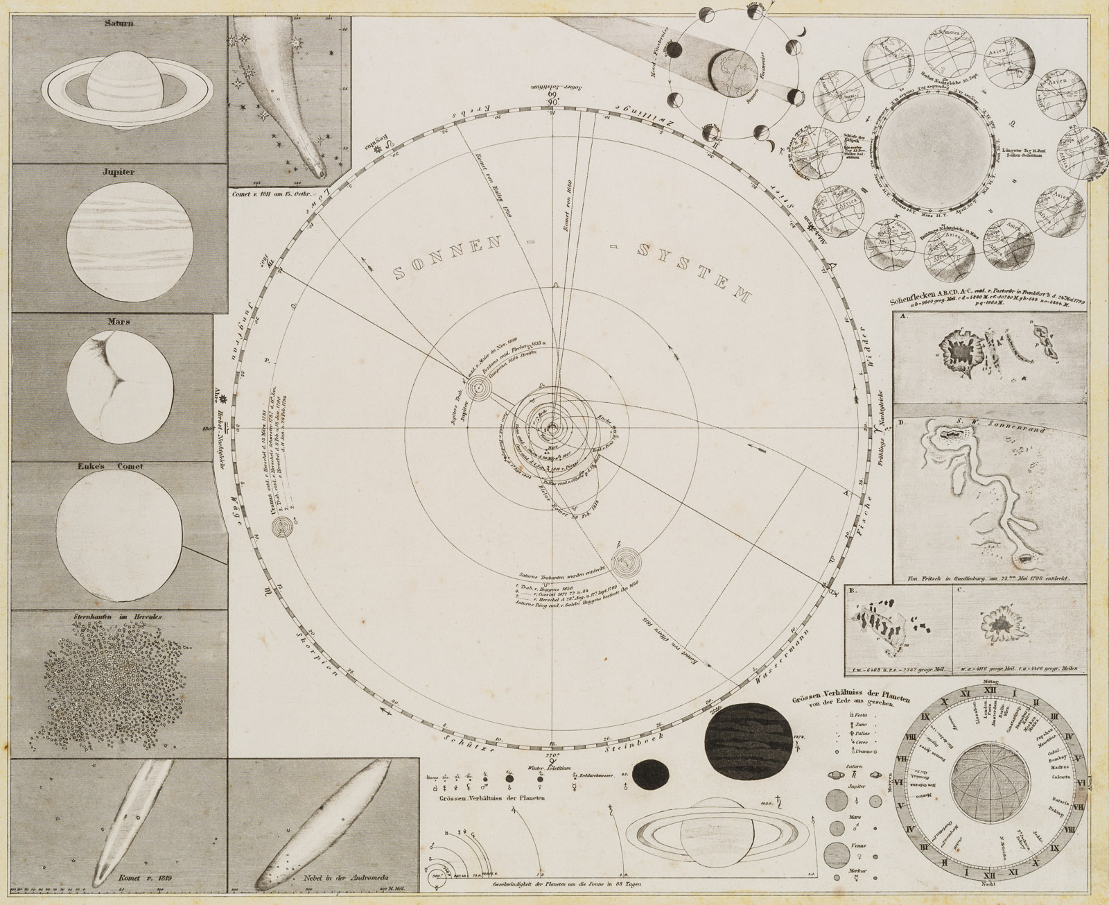
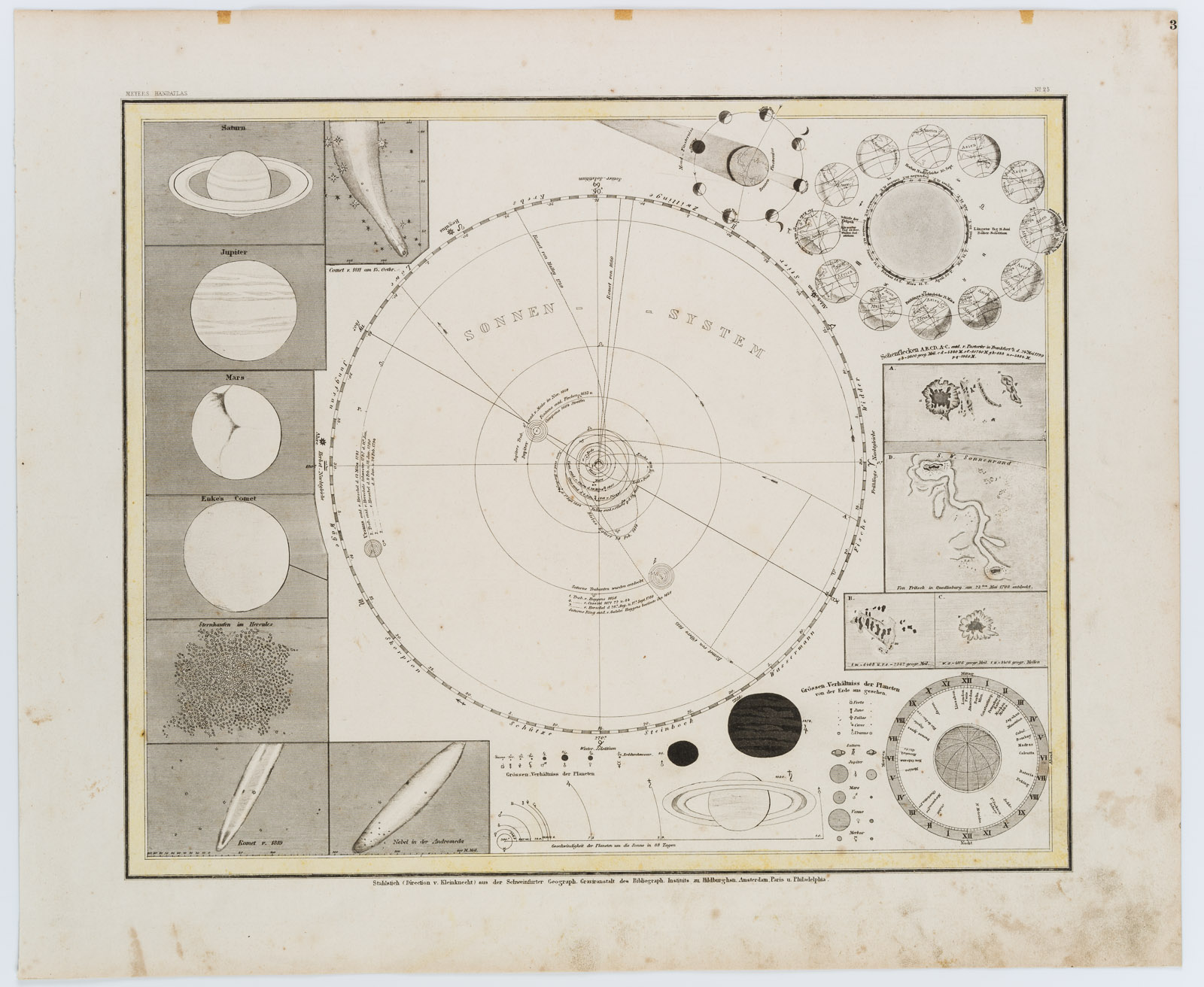
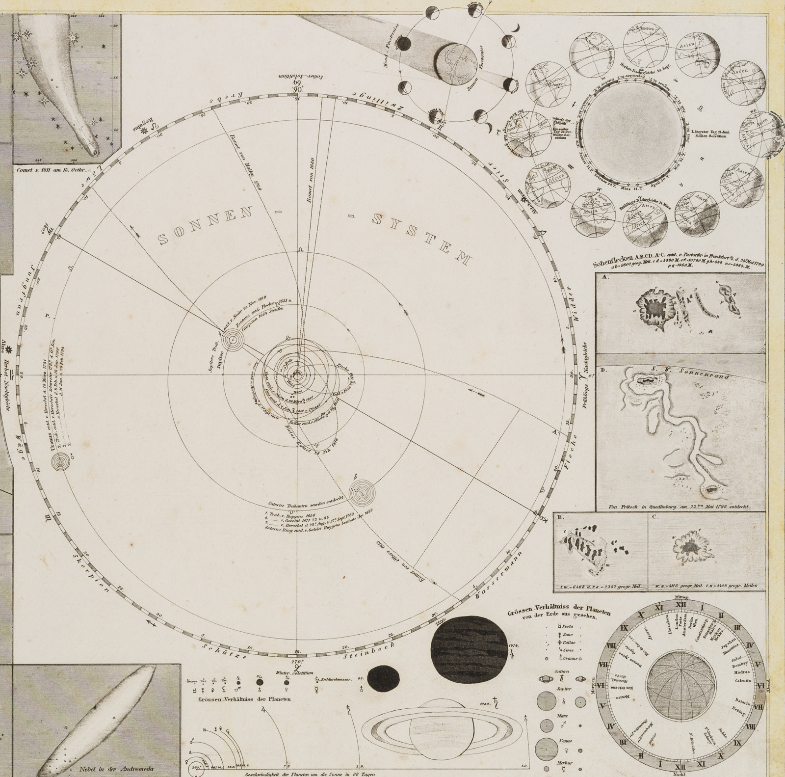
Unbekannt (19. Jahrhundert), Atlaskarte zum Sonnensystem aus Meyers Handatlas, um 1860, Stahlstich
- Technik: Stahlstich auf Papier
- Bezeichnung: Unterhalb beschriftet mit: „Stahlstich (Direktion v. Kleinknecht) aus der Schweinfurter Geograph. Graviranstalt des Bibliograph. Instituts zu Hildburghsn Amsterdam, Paris u. Philadelphia.“. Oberhalb beschriftet und nummeriert mit: „MEYERS HANDATLAS“ | „N 25“.
- Datierung: um 1860
- Schlagworte: Biblisches, Deutschland, Romantik, 1850-1899
- Größe: 36,5 cm x 44,2 cm, Darstellung: 29,5 cm x 35,8 cm
- Zustand: Guter Zustand. Kurze Einrisse entlang des unteren Blattrands. Linke Ecke oben trägt Knickfalten und einen kurzen Blatteinriss.
English Version:
Unknown (19th century), Atlas Map of the Solar System from Meyer’s Hand Atlas, c. 1860, Steel engraving
- Technique: Steel engraving on Paper
- Inscription: Inscribed below: „Stahlstich (Direktion v. Kleinknecht) aus der Schweinfurter Geograph. Graviranstalt des Bibliograph. Institut zu Hildburghsn Amsterdam, Paris u. Philadelphia. Inscribed and numbered above: „MEYERS HANDATLAS“ | „N 25“.
- Date: c. 1860
- Keywords: 19th century, Romanticism, Biblical, Germany,
- Size: 36,5 cm x 44,2 cm (14,4 x 17,4 in), Depiction: 29,5 cm x 35,8 cm (11,6 x 14,1 in)
- Condition: Good condition. Short tears along the lower edge of the sheet. Upper left corner bears creases and a short tear.


