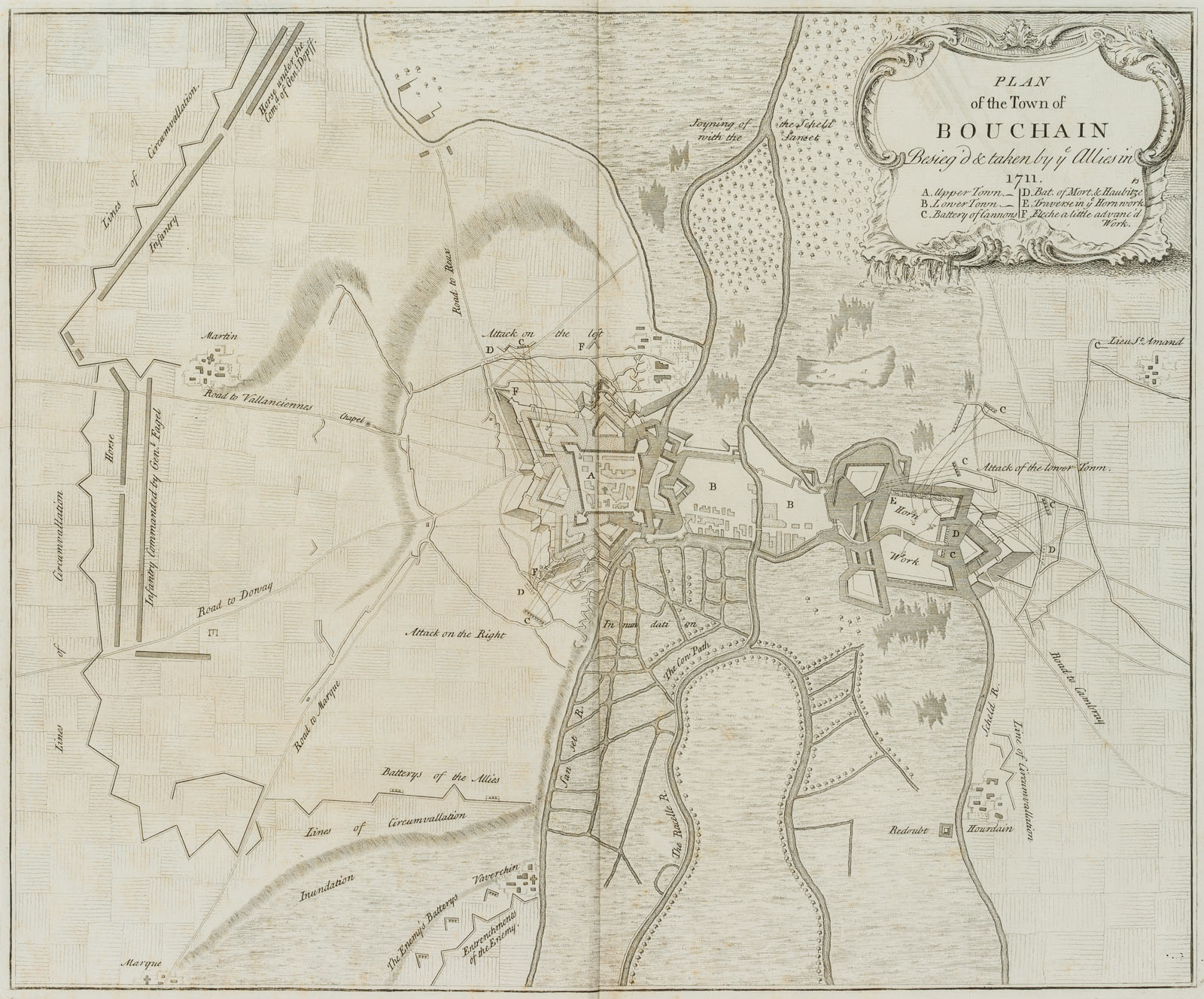
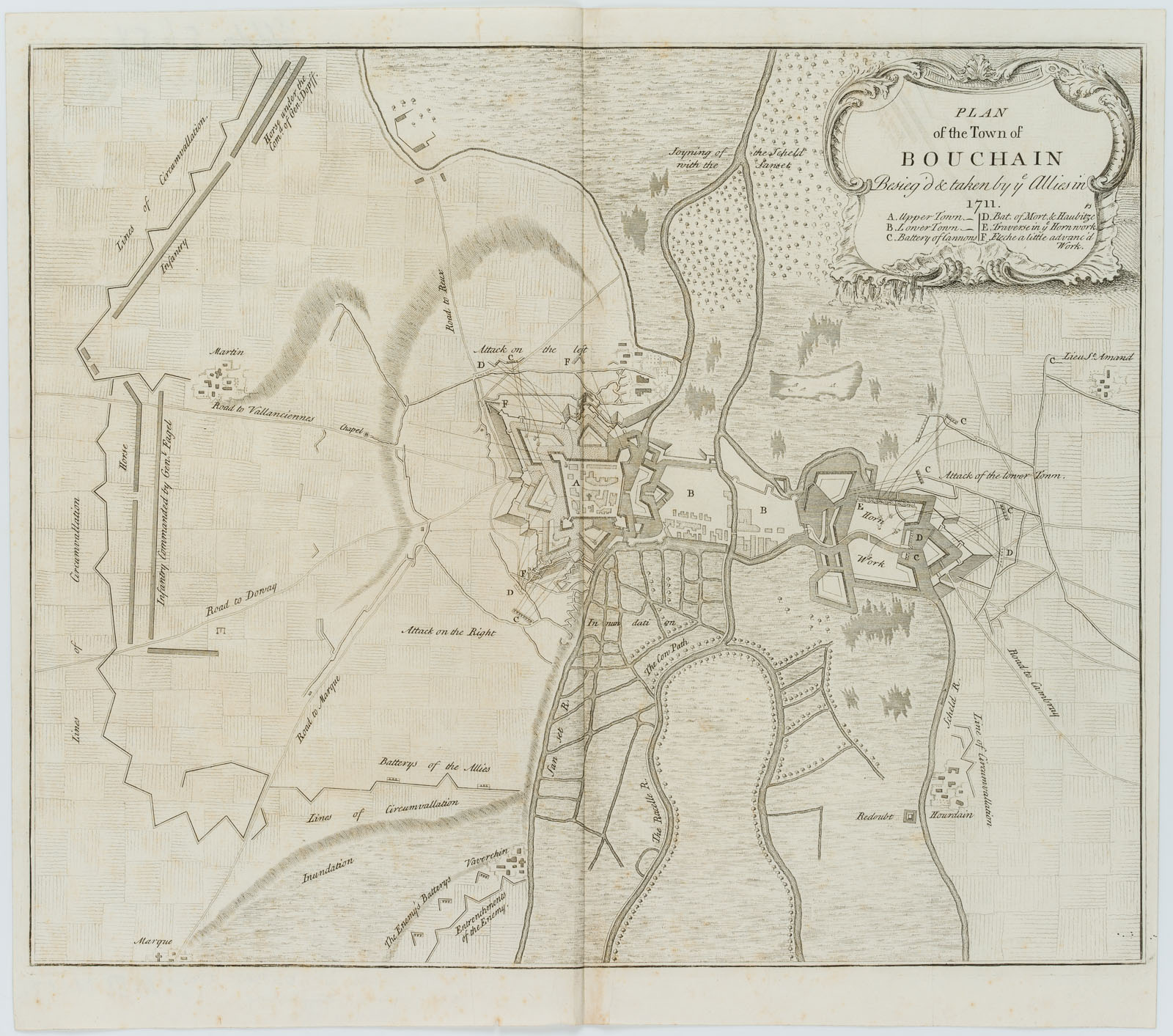
Claude Dubosc (1682 – 1745 ), Militärische Karte. Eroberung Bouchains, 1711, Kupferstich
- Technik: Kupferstich auf Papier, aufgewalzt auf Papier
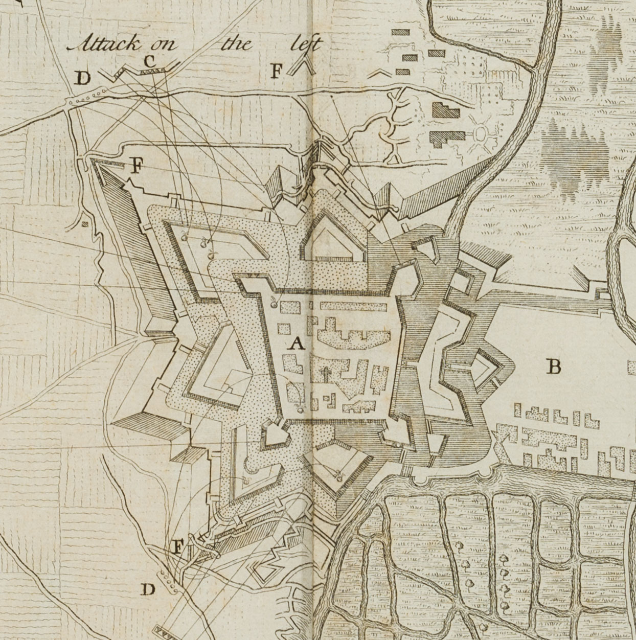
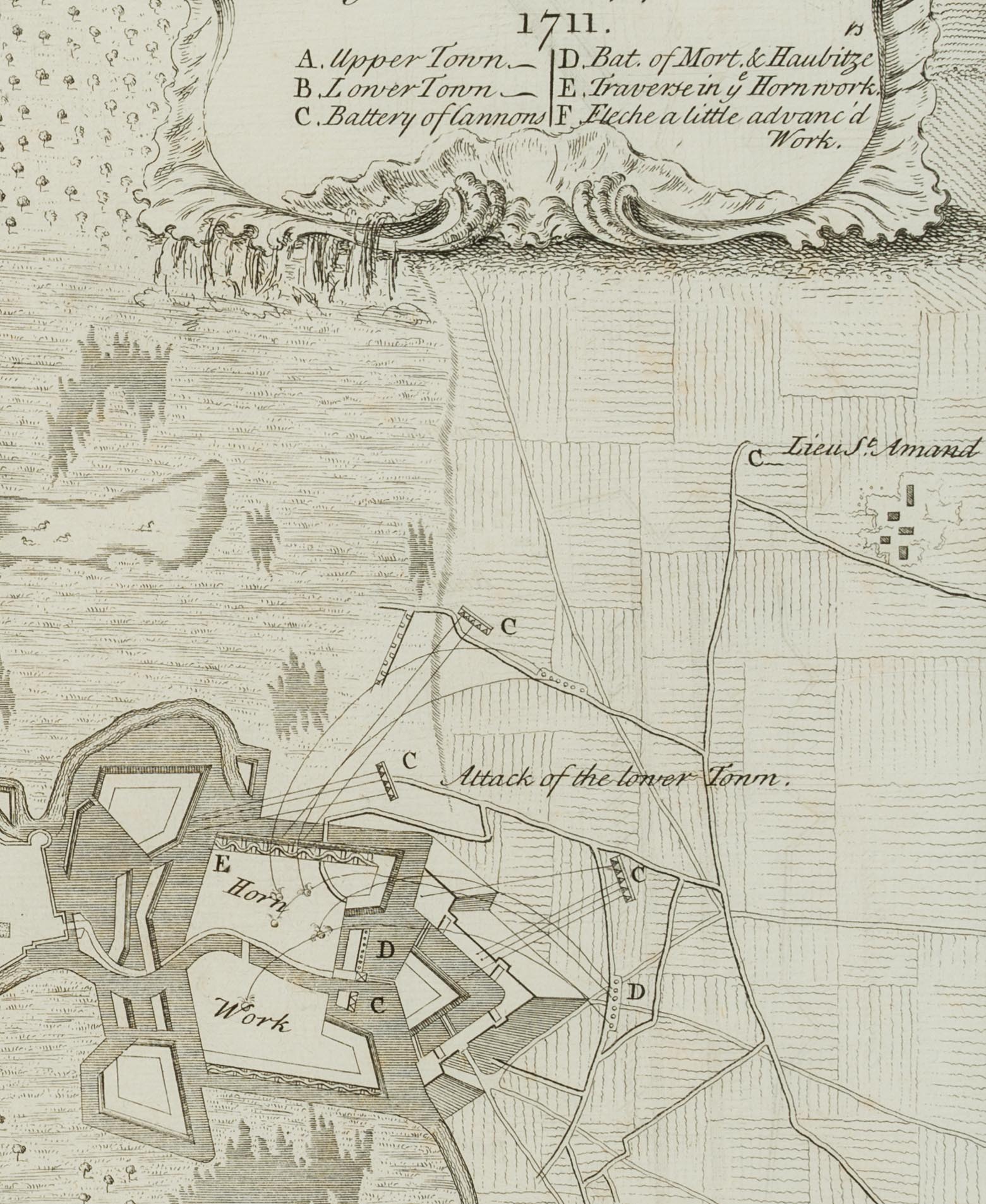
- Bezeichnung: Oben rechts in der Kartusche beschriftet mit „PLAN of the Town of BOUCHAIN besieged & taken by the Allies in 1711“. Das vorliegende Blatt dokumentiert anhand der militärischen Karte, wie die Alliierten 1711 im Rahmen des spanischen Erbfolgekriegs die französische Stadt Bouchain in Nordfrankreich eroberten.
- Datierung: 1711
- Schlagworte: Landkarten, Militär, Frankreich, Gegenständlich, 1700-1749
- Größe: 39,4 cm x 45,0 cm, Darstellung: 35,7 cm x 43,2 cm
- Zustand: Guter Zustand. Das Blatt wurde einfach gefaltet in einem Buch befestigt. Davon zeugt die vertikale Knickfalte über die Mitte des Blattes sowie die rückseitige Klebespur. Das Blatt hat sich stellenweise altersgemäß verfärbt und ist insbesondere an den Rändern stockfleckig. Mit einem kurzen Einriss am linken unteren Blattrand.
English Version:
Claude Dubosc (1682 – 1745 ), Military map Conquest of Bouchain, 1711, Copper engraving
- Technique: Copper engraving on Paper, rolled-on on Paper
- Inscription: Inscribed in the upper right cartouche with „PLAN of the Town of BOUCHAIN besieged & taken by the Allies in 1711“. This sheet uses the military map to document how the Allies captured the French town of Bouchain in northern France in 1711 as part of the War of the Spanish Succession.
- Date: 1711
- Keywords: 18th century, Figurative, Maps, France,
- Size: 39,4 cm x 45,0 cm (15,5 x 17,7 in), Depiction: 35,7 cm x 43,2 cm (14,1 x 17 in)
- Condition: Good condition. The sheet was simply folded and attached to a book. This is evidenced by the vertical crease across the centre of the sheet and the trace of glue on the reverse. The sheet has discoloured in places due to its age and is foxed especially at the margins. With a short tear at the lower left margin.

