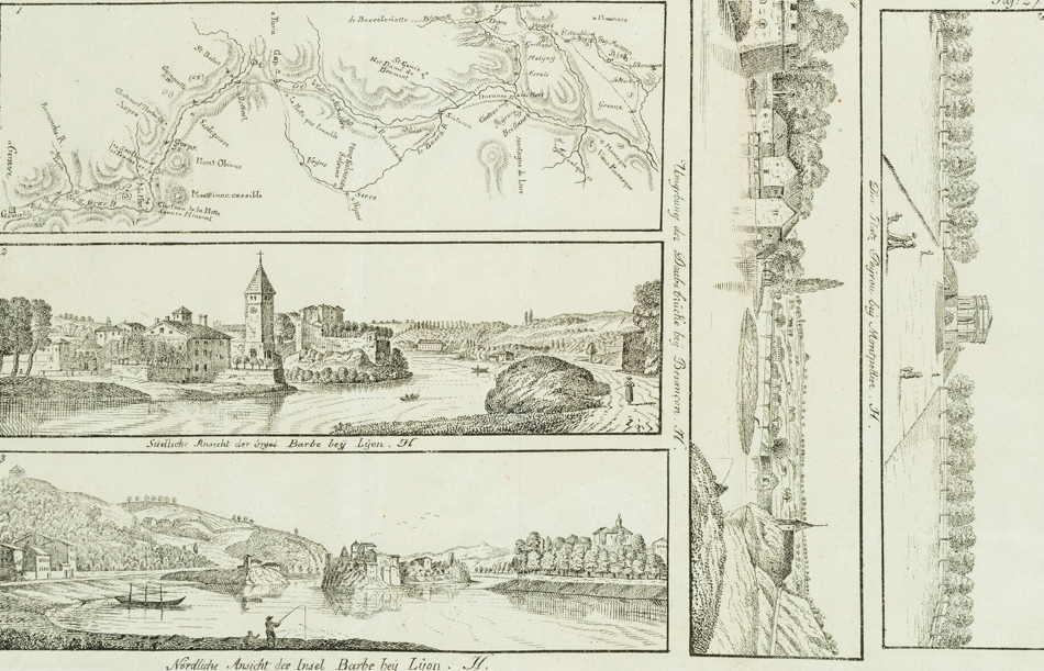
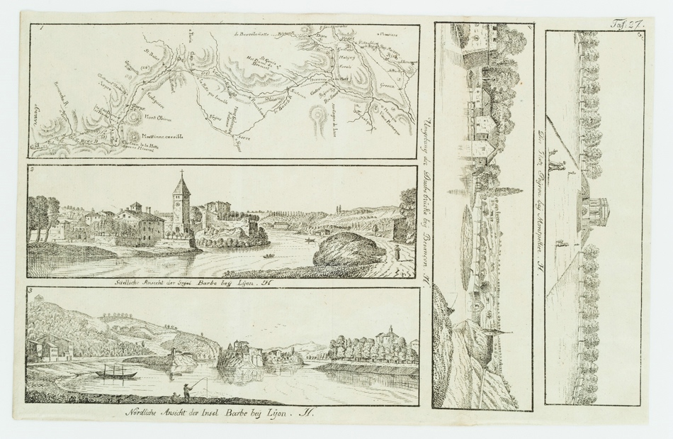
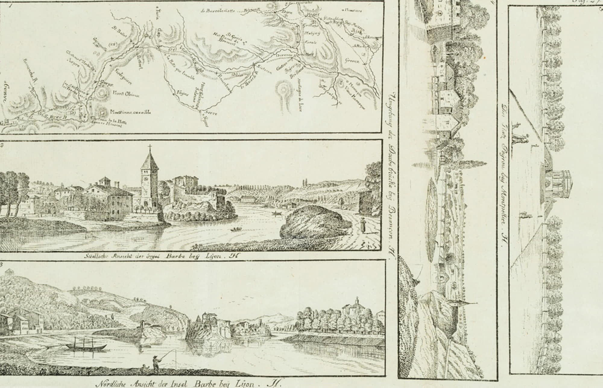
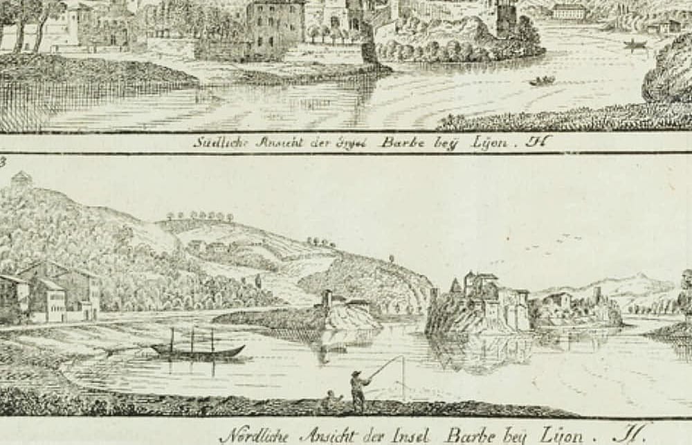
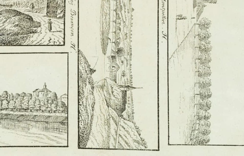
Unbekannt (19. Jahrhundert), Fluss- u. Insellandschaften sowie franz. Karte, 19. Jahrhundert, Lithographie
- Technik: Lithographie auf Papier
- Datierung: 19. Jahrhundert
- Beschreibung: Bildtitel unter den Bildern und jeweils mit der Initialie “H.” bezeichnet. Oberhalb mit “Taf. 27” nummeriert.
- Schlagworte: Landschaft, Frankreich, Romantik, 1800-1849
- Größe: 19,7 cm x 30,7 cm
- Zustand: Guter Zustand. Das Blatt ist durch vertikale Knickfalten gegliedert, da es vermutlich als Faltbeilage in einem Buch gedient hat. Auf der Rückseite weist die linke Knickfalte Reste eines Papierstreifens auf. Blatt trägt feine Knitterspuren, insbesondere am unteren Rand. Der Druck erscheint frisch.
English Version:
Unknown (19th century), River and Island Landscapes as well as French Map Map, 19th century, Lithography
- Technique: Lithography on Paper
- Date: 19th century
- Description: Titles below the pictures and each inscribed with the initial “H.”. Numbered above with “Taf. 27”.
- Keywords: 19th century, Romanticism, Landscapes, France,
- Size: 19,7 cm x 30,7 cm (7,8 x 12,1 in)
- Condition: Good condition. The sheet is divided by vertical creases, as it probably served as a folding supplement in a book. On the reverse side the left crease shows remains of a paper strip. Sheet shows fine creases, especially at lower margin. The print appears fresh.

