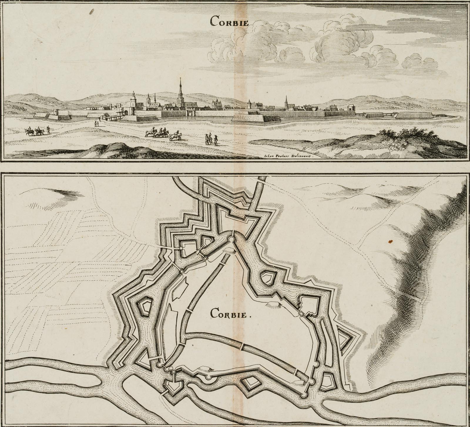
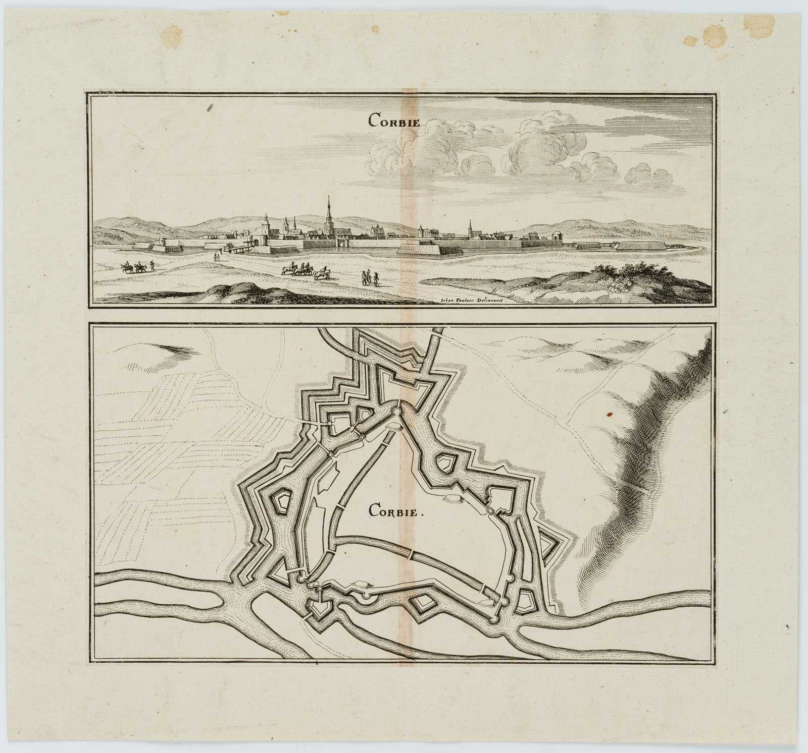
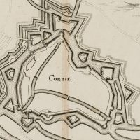
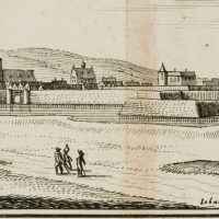
Unbekannt (18. Jahrhundert), Befestigungsanlage Corbies. Karte u. Ansicht, 18. Jahrhundert, Kupferstich
- Technik: Kupferstich auf Papier, aufgewalzt auf Papier
- Datierung: 18. Jahrhundert
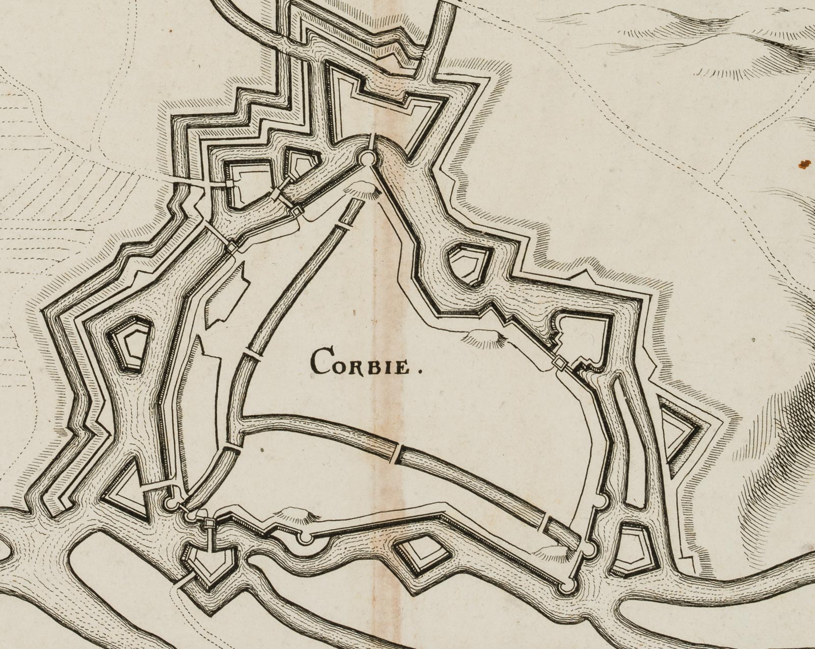
- Beschreibung: Nach Frankreichs Eintritt in den Dreißigjährigen Krieg belagerten 1636 spanische Truppen über sechs Wochen die kleine Stadt Corbie (Département Somme) im Norden Frankreichs. Das vorliegende Blatt zeigt die Befestigungsmauer der Stadt aus zwei Perspektiven. Die Illustration oben zeigt eine pittoreske Ansicht von Corbie und dessen Befestigungsmauern. Die topographische Karte veranschaulicht den Aufbau und Organisation der Befestigungsanlage. Oberhalb beschriftet mit “CORBIE”. In der Ansicht rechts unten signiert mit “Johan Peeters[?] Delineavit.”.
- Schlagworte: Landkarten, Militär, Deutschland, Gegenständlich, 1700-1749
- Größe: 32,9 cm x 35,6 cm, Weitere Maße: 26 x 28,5 cm, Unterlage: 32,9 x 35,6 cm
- Zustand: Guter Zustand. Mit einem vertikalen blass roten Streifen, der mittig über Karte und Ansicht verläuft. Beim Aufwalzen auf den Blattträger sind am linken oberen Blattrand Quetschfalten entstanden. Vereinzelte kleine Flecken verteilen sich über die Darstellungen. Bräunliche Flecken befinden sich am oberen Rand des Blattträgers.
English Version:
Unknown (18th century), Fortification Corbies Map & View, 18th century, Copper engraving
- Technique: Copper engraving on Paper, rolled-on on Paper
- Date: 18th century
- Description: After France’s entry into the Thirty Years’ War, Spanish troops besieged the small town of Corbie (Département Somme) in northern France for over six weeks in 1636. The present sheet shows the fortification wall of the town from two perspectives. The illustration above shows a picturesque view of Corbie and its fortification walls. The topographical map illustrates the layout and organisation of the fortifications. Inscribed above with “CORBIE”. Signed “Johan Peeters[?] Delineavit.” in the lower right of the view.
- Keywords: 18th century, Figurative, Maps, Germany,
- Size: 32,9 cm x 35,6 cm (13 x 14 in), additional specification: 26 x 28.5 cm, base: 32.9 x 35.6 cm
- Condition: Good condition. With a vertical pale red stripe running centrally across the map and view. When rolled onto the sheet backing, crimping creases have appeared at the upper left margin of the sheet. Isolated small stains spread over the illustrations. There are brownish stains on the upper edge of the sheet carrier.

