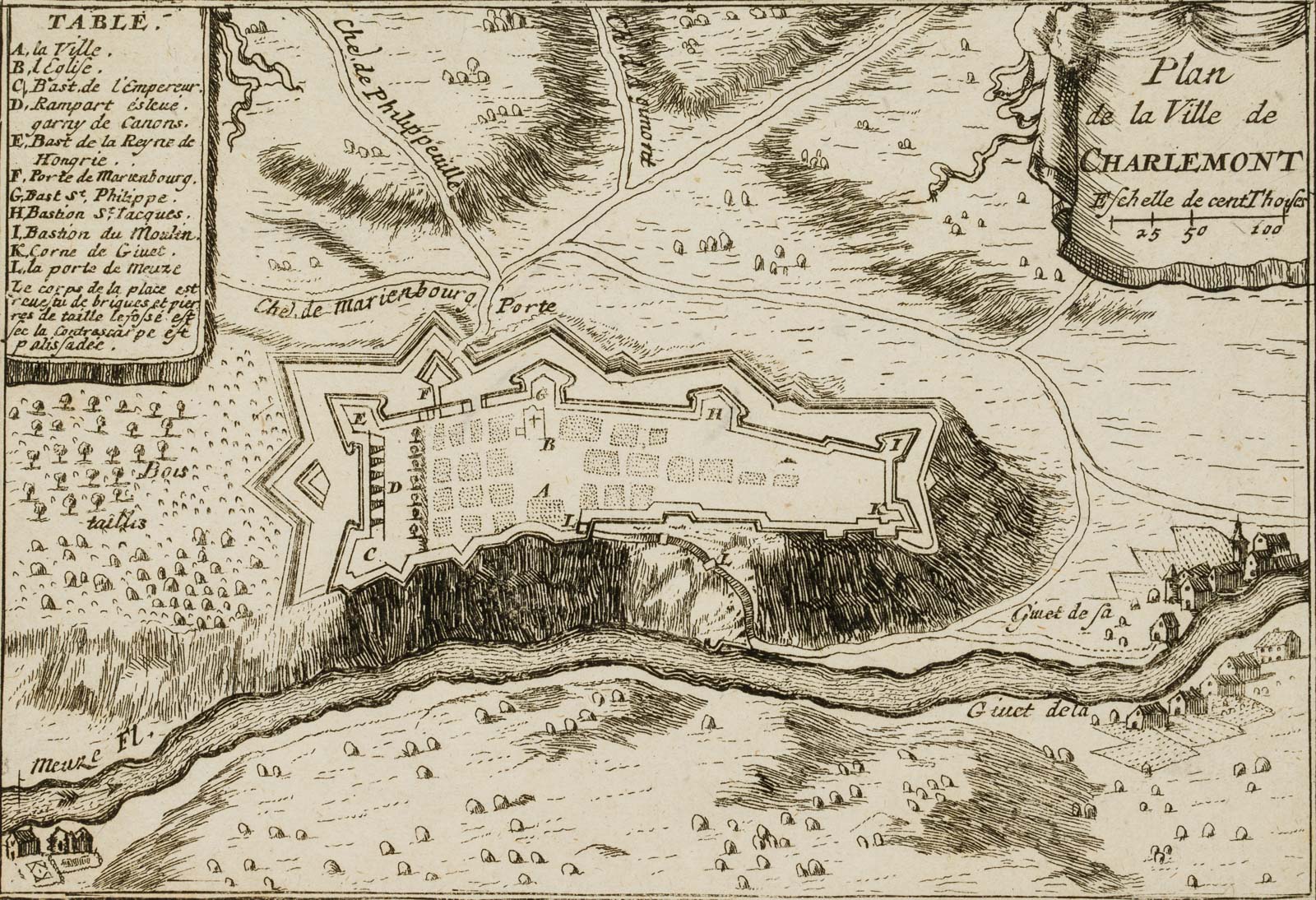
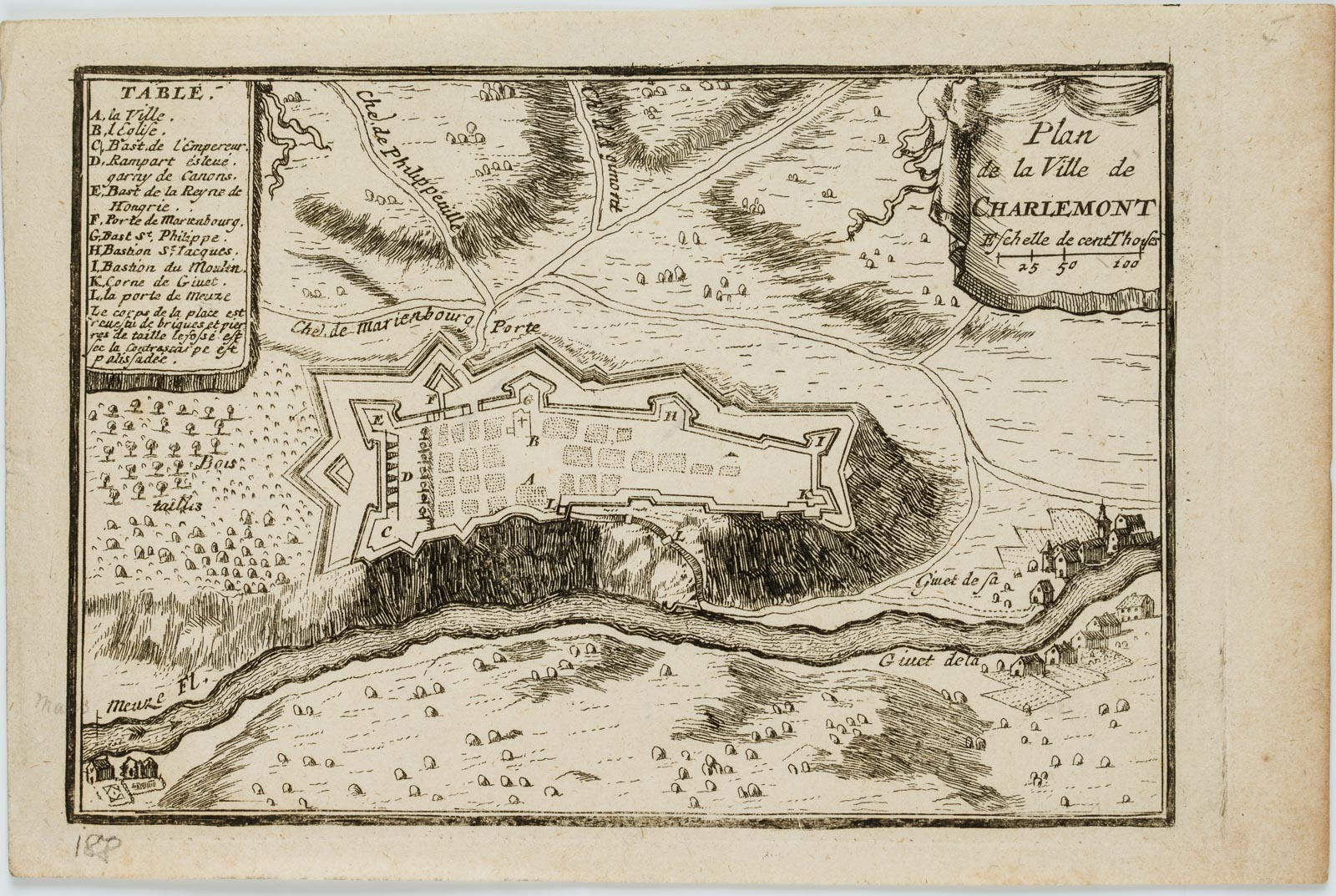
Sébastien de Pontault de Beaulieu (um 1612 – 1674 ebd.), “Plan de la ville de Charlemont”, Karte, Givet, 1680, Kupferstich
- Technik: Kupferstich auf Papier
- Datierung: 1680
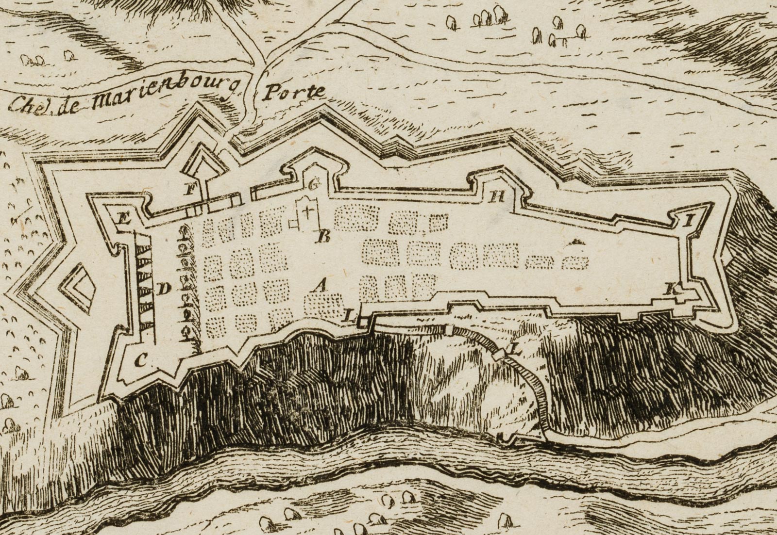
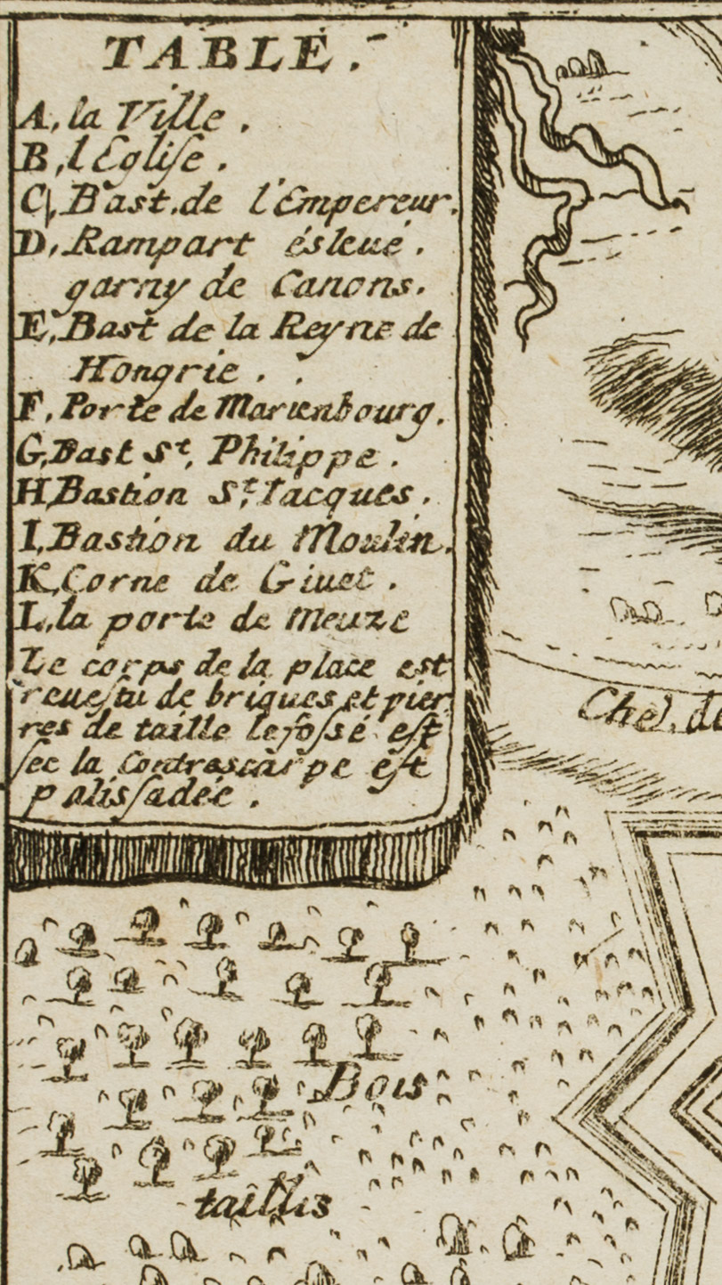
- Beschreibung: Diese rare, dekorative Karte ist in der Kartusche rechts oben innerhalb der Abbildung betitelt: “Plan de la Ville de CHARLEMONT”, in der Nähe von Givet, Belgien. Sie zeigt die Befestigung an der Maas. Aus der Hand von Sébastien PONTAULT, französischer Militärkartograph, Offizier und Verleger, dessen Wirken in die Zeit der Eroberungskriege Ludwigs XIII. und Ludwigs XIV. fiel. Aus dem seltenen Kartenatlas ‘Les Plans et Profils des principales Villes et lieux considé’ von Sébastien de Pontault, der die Gegenden im Süden der Niederlande, welche von den Franzosen erobert wurden, dokumentiert.
Verso nachträglich mit Sammlungsnummer bezeichnet von fremder Hand: “6752”. Aus einem berühmten Antiquariat aus München.
- Quelle: Sébastian de Pontault (1612 -1674 Paris) Les Plans et Profils des principales Villes et lieux considé; rables du comté; de Flandre |
- Schlagworte: Landkarten, Stadtbilder, Belgien, Romantik, 1650-1699
- Größe: 12,1 cm x 18,6 cm, Darstellung: 10,3 cm x 15,2 cm
- Zustand: Sehr guter Zustand. Altersbedingt gebräunt, mit feinen Knickspuren im Rand.
English Version:
Sébastien de Pontault de Beaulieu (around 1612 – 1674 ibid.), “Map of the town of Charlemont”, Karte, Givet, 1680, Copper engraving
- Technique: Copper engraving on Paper
- Date: 1680
- Description: This rare, decorative map is titled in the cartouche at the upper right within the image: “Plan de la Ville de CHARLEMONT”, near Givet, Belgium. It shows the fortification on the Meuse. From the hand of Sébastien PONTAULT, French military cartographer, officer and publisher, whose work coincided with the wars of conquest of Louis XIII and Louis XIV. From the rare map atlas ‘Les Plans et Profils des principales Villes et lieux considé’ by Sébastien de Pontault, which documents the areas in the south of the Netherlands that were conquered by the French.
Later inscribed on the verso with a collection number by another hand: “6752”. From a famous antiquarian bookshop in Munich.
- Source: Sébastian de Pontault (1612 -1674 Paris) Les Plans et Profils des principales Villes et lieux considé; rables du comté; de Flandre |
- Keywords: 17th century, Romanticism, Maps, Belgium,
- Size: 12,1 cm x 18,6 cm (4,8 x 7,3 in), Depiction: 10,3 cm x 15,2 cm (4,1 x 6 in)
- Condition: Very good condition. Browned due to age, with fine crease marks in margin.

