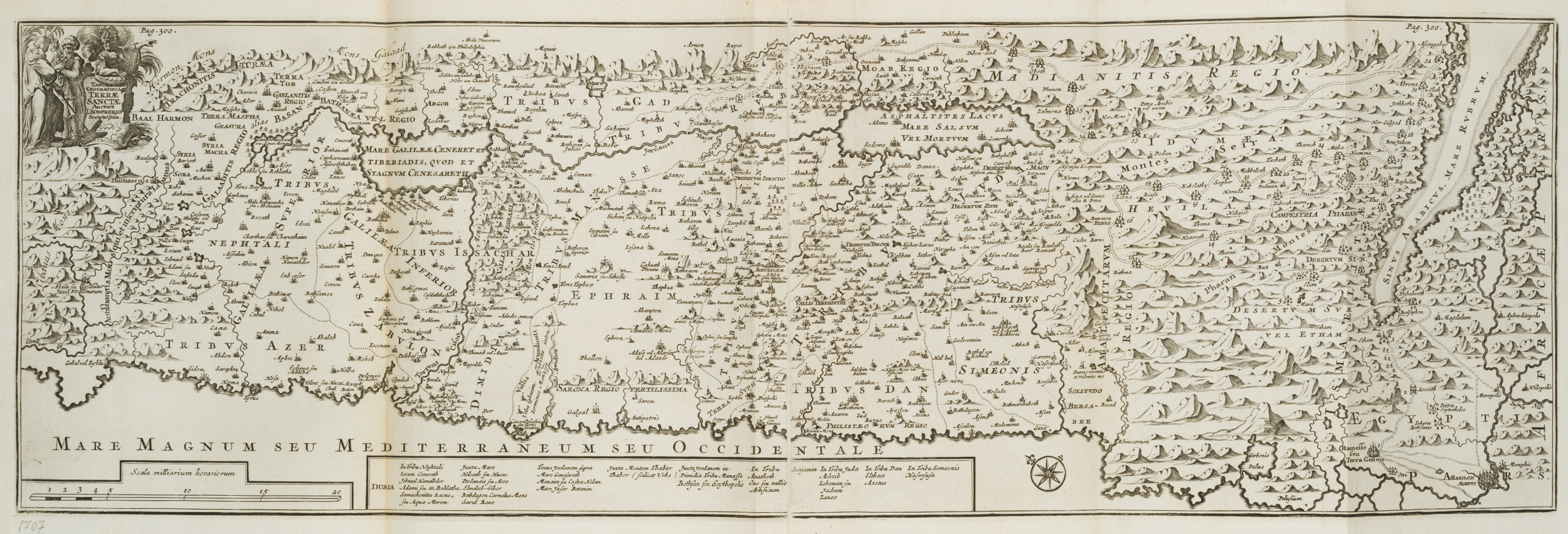
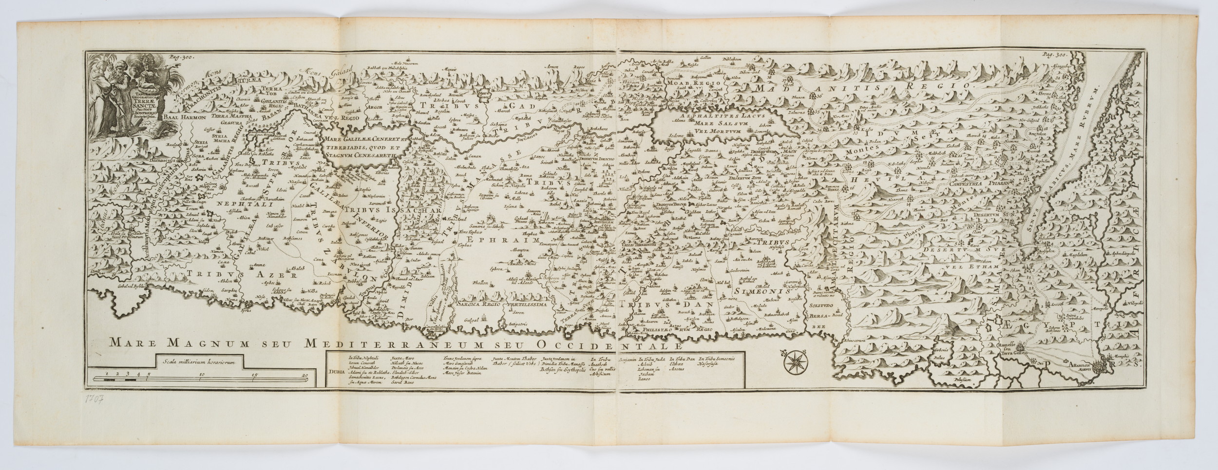
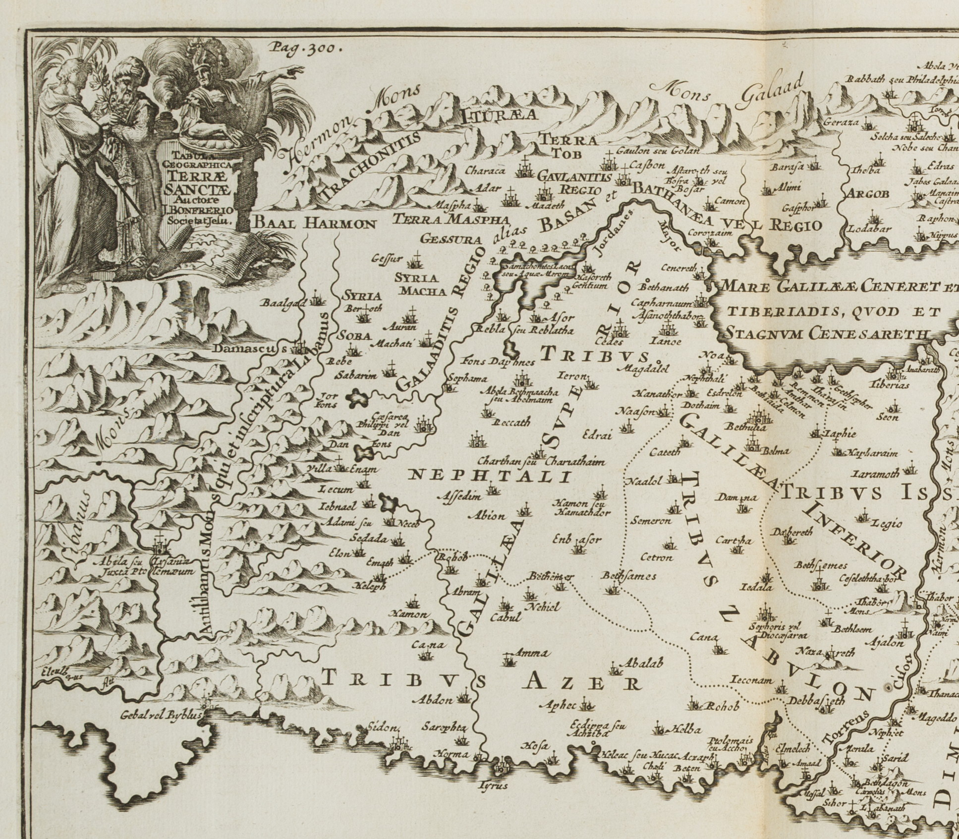
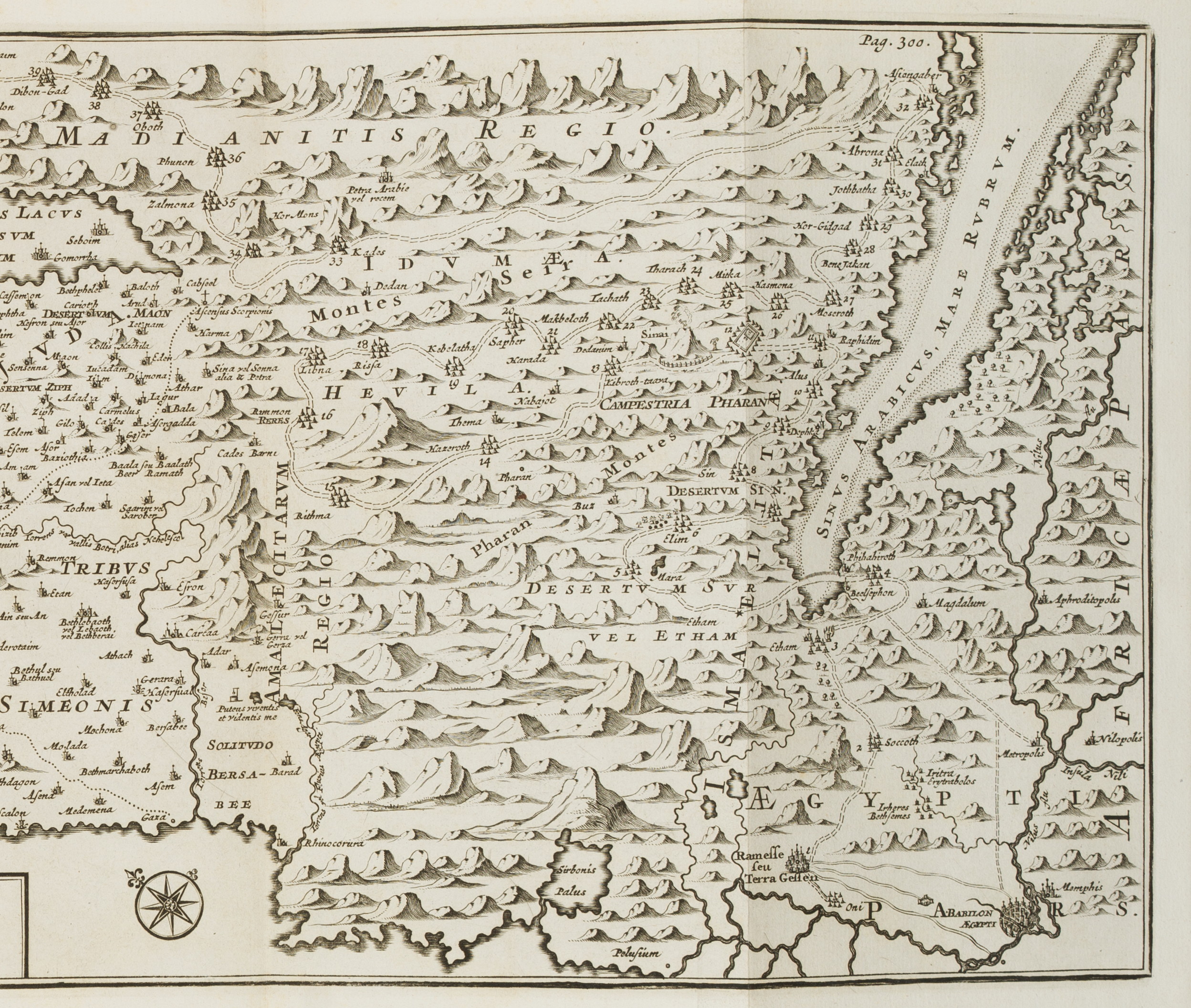
Nach Jacques Bonfrère (1573 Dinant – 1642 Tournai), Karte der Wanderung der Kinder Israels, Tabula Geographica Terrae Sanctae, 1717, Kupferstich
- Technik: Kupferstich auf Papier
- Datierung: 1717
- Beschreibung: Verkleinerte Kopie der Karte des Bonfrere aus dem Jahre 1631. Zeigt die Wanderung der zwölf Stämme Israels im Exodus mit 42 Zwischenstationen.
- Quelle: François Halma (1653 -1722 ) Eusebius, Kanaän en d’omleggende landen…, 1717 | Buch, Landschaft
- Schlagworte: Bibel, Altes Testament, Judentum, Israel, Zwölf Stämme, Exodus, Wanderung, Topographie, Landkarten, Israel, Rokoko, 1700-1749
- Größe: 26,0 cm x 73,5 cm, Druckplatte: 21,0 cm x 65,7 cm
- Zustand: Sehr guter Zustand. Wie alle auf zwei zuammengefügten Papieren gedruckt und wie üblich gefaltet. Entlang der Kanten leicht verbräunt. Vereinzelt sind blasse Stockflecken erkennbar.
English Version:
After Jacques Bonfrère (1573 Dinant – 1642 Tournai), Map of the Migration of the Children of Israel, Tabula Geographica Terrae Sanctae, 1717, Copper engraving
- Technique: Copper engraving on Paper
- Date: 1717
- Description: Reduced copy of the map of Bonfrere from 1631. Shows the migration of the twelve tribes of Israel in the Exodus with 42 intermediate stations.
- Source: François Halma (1653 -1722 ) Eusebius, Kanaän en d’omleggende landen…, 1717 | Book, Landscape
- Keywords: Bible, Old Testament, Judaism, Israel, Twelve Tribes, Exodus, Migration, Topography, 18th century, Rococo, Maps, Israel,
- Size: 26,0 cm x 73,5 cm (10,2 x 28,9 in), Plate: 21,0 cm x 65,7 cm (8,3 x 25,9 in)
- Condition: Very good condition. Printed as all on two papers joined together and folded as usual. Slightly browned along the edges. Sporadic pale foxing visible.

