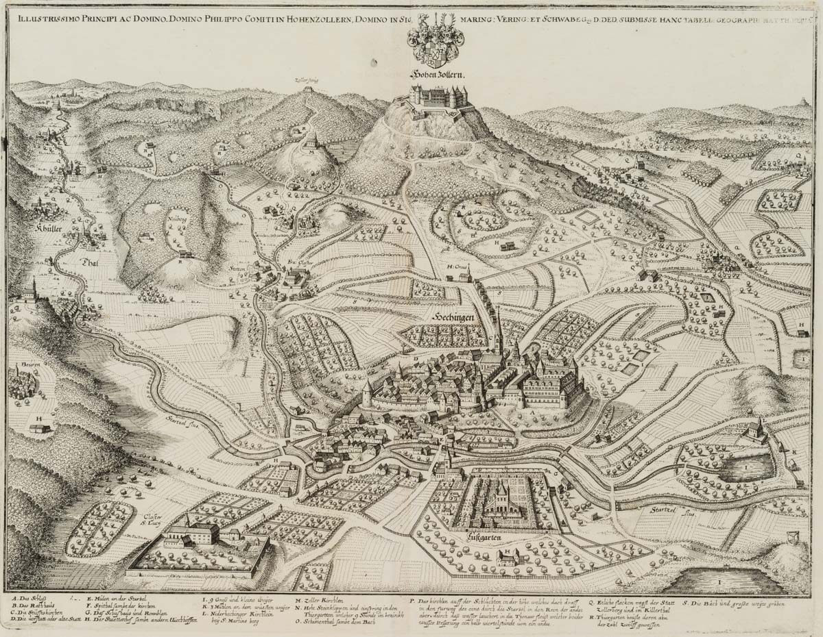
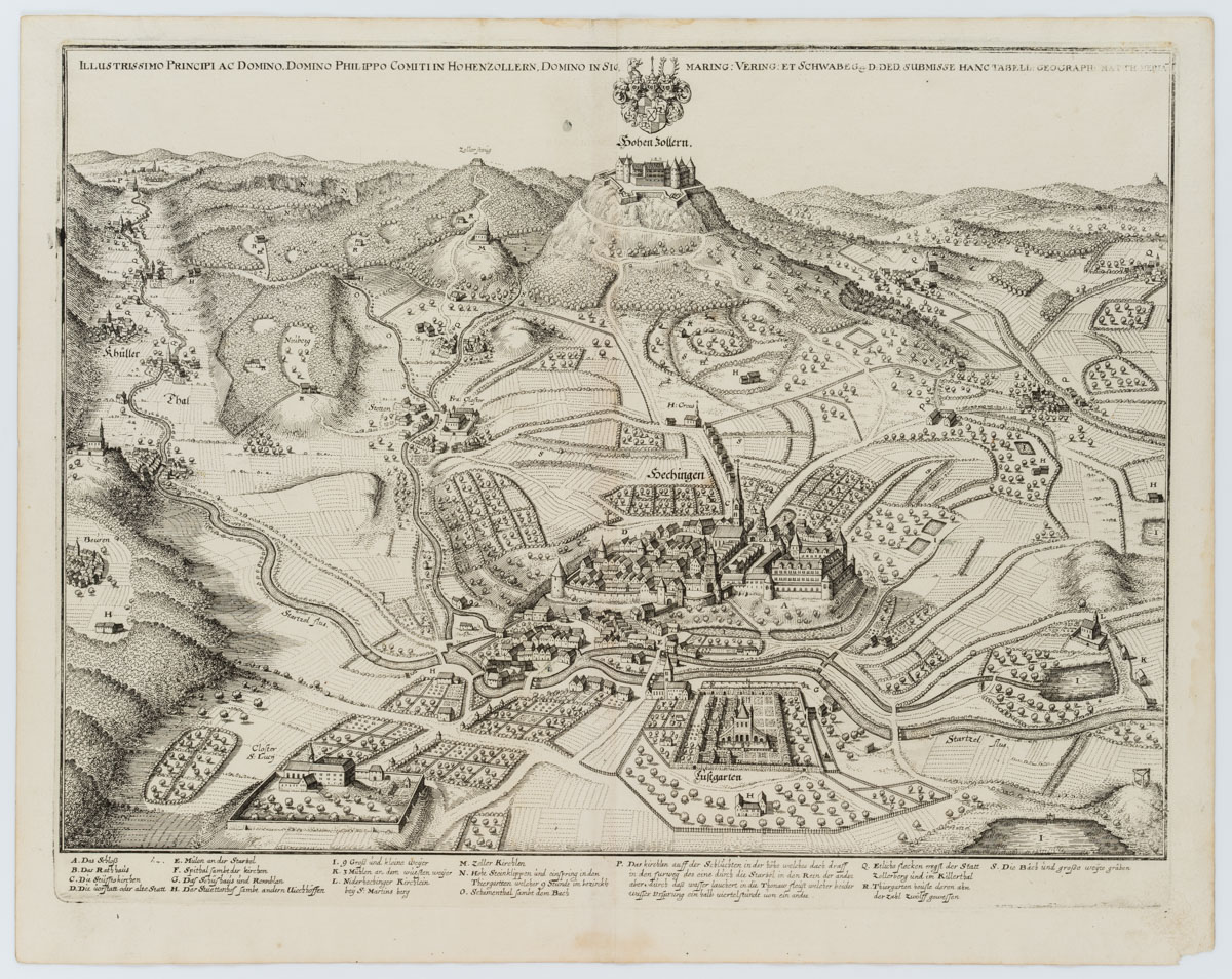
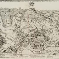
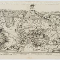
Matthäus Merian (1621 Basel – 1687 Frankfurt am Main), Hechingen und Burg Hohenzollern in Schwäbischer Alb(2), 18. Jahrhundert, Radierung
- Technik: Radierung auf Papier
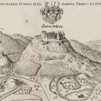
- Bezeichnung: Oben in der Druckplatte mit einer Widmung versehen und vom Künstler signiert: “Illustrissimo Principi Ac Domino. Domino Philippo Comiti In Hohenzollern. Domino In Sigmaring: Vering: Et Schwabeg D: Ded. Submisse Hanc Tabell: Geograph: Matth: Meria”.
- Datierung: 18. Jahrhundert
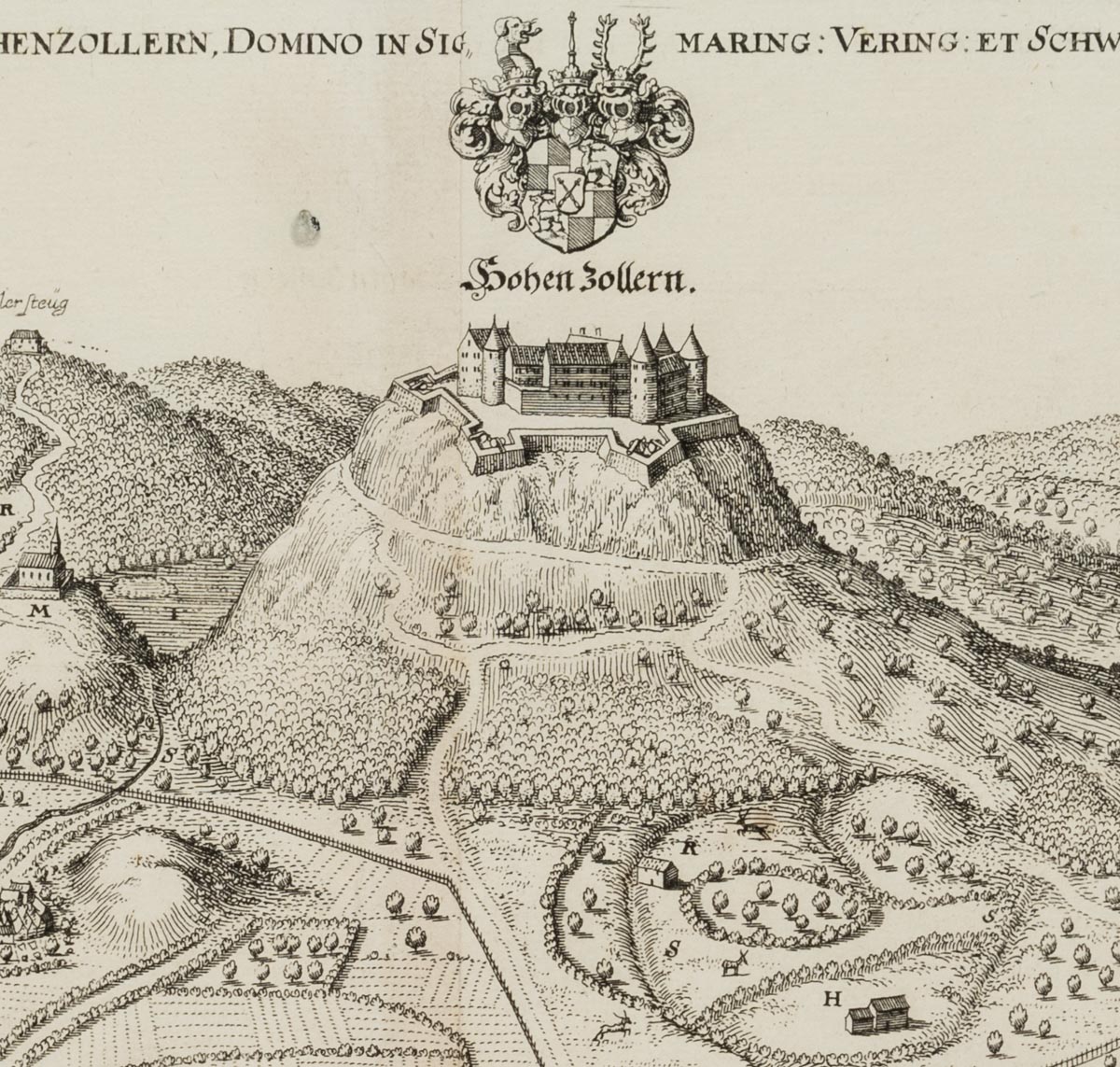
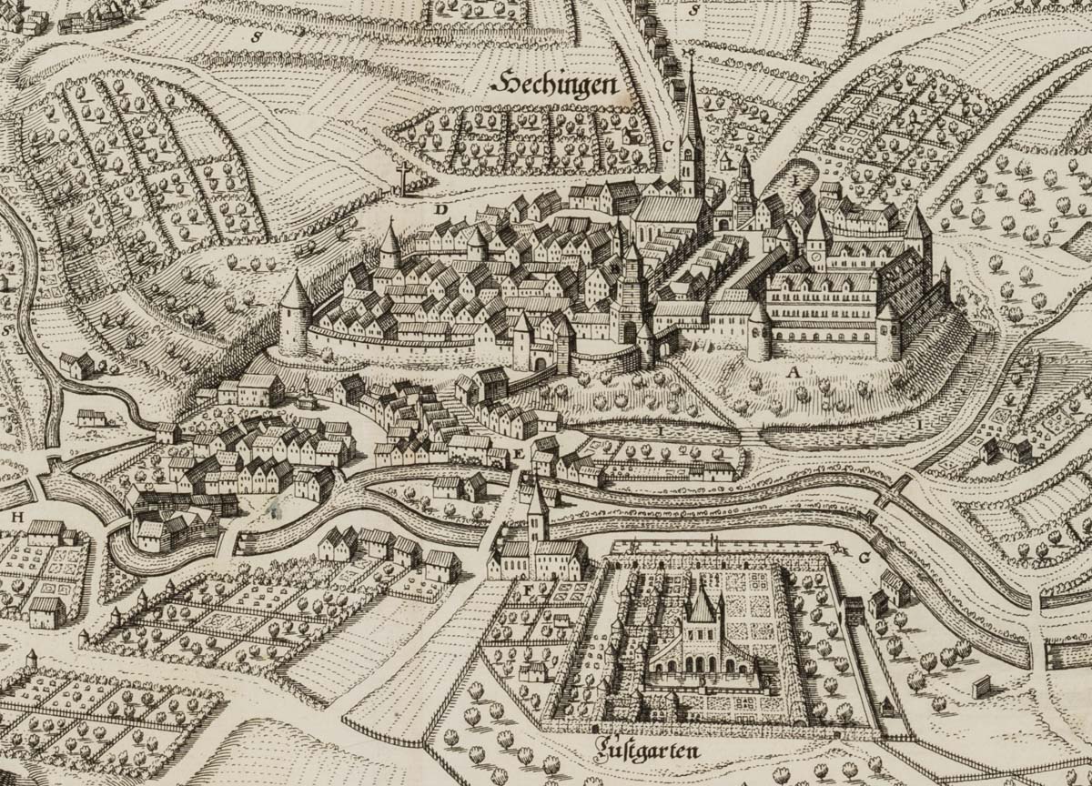
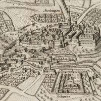
- Beschreibung: Radierung auf zwei mittig zusammengefügten Papieren. Diese Darstellung stammt aus dem zweiten Band des umfassenden Werkes Topographia Germaniae, das von Martin Zeller (1589 Ranten – 1661 Ulm) geschrieben und von Merian initiiiert sowie illustriert wurde. Die 16 Bände stellen bis heute ein einzigartiges Zeugnis früher topografischer Arbeit dar und beeindrucken durch die Genauigkeit der Darstellung. Das vorliegende Blatt stammt aus der zweiten Auflage aus dem Jahr 1656. In der Vedute der Burg Hohenzollern über dem Ort Hechingen fällt die typische Darstellungsweise Merians auf. Trotz teils schematisierter Architektur werden markante Bauwerke stets mit Hinblick auf ihren individuellen Charakter dargestellt. Die Topographie nimmt alle wichtigen Erhebungen, Gewässer und Verkehrswege auf sowie große und kleine Siedlungen. Viele sind mit Verweisen versehen und in der unten abgedruckten Legende erklärt.
| Wasserzeichen: Heraldischer Adler mit Baselstab
- Schlagworte: Landkarten, Architektur, Deutschland, Klassizismus, 1700-1749
- Größe: 31,5 cm x 39,9 cm, Druckplatte: 28,7 cm x 37,1 cm, Darstellung: 26,8 cm x 36,8 cm
- Zustand: Sehr guter Zustand. Mit umlaufendem Druckrand. Insbesondere auf dem Rand sind schwache Verschmutzungen und Verfärbungen sichtbar. Mittig entlang der Klebekante minimal verbräunt. Oben befinden sich schmale Flüssigkeitsflecken sowie ein kurzer Randeinriss. Die rechte untere Blattecke fehlt. Entlang der rechten Plattenkante teils deutlich berieben.
English Version:
Matthäus Merian (1621 Basel – 1687 Frankfurt on the Main), Hechingen and Hohenzollern Castle in the Swabian Alb(2), 18th century, Etching
- Technique: Etching on Paper
- Inscription: Dedicated at the top of the printing plate and signed by the artist: “Illustrissimo Principi Ac Domino. Domino Philippo Comiti In Hohenzollern. Domino In Sigmaring: Vering: Et Schwabeg D: Ded. Submisse Hanc Tabell: Geograph: Matth: Meria”.
- Date: 18th century
- Description: Etching on two papers joined in the centre. This depiction is from the second volume of the comprehensive work Topographia Germaniae, written by Martin Zeller (1589 Ranten – 1661 Ulm) and initiated and illustrated by Merian. The 16 volumes still represent a unique testimony of early topographical work and impress with the accuracy of the representation. The present sheet is from the second edition of 1656. In the veduta of Hohenzollern Castle above the town of Hechingen, Merian’s typical style of depiction is striking. Despite partly schematised architecture, striking buildings are always depicted with regard to their individual character. The topography includes all important elevations, bodies of water and traffic routes as well as large and small settlements. Many are referenced and explained in the legend printed below.
| Watermark: Heraldischer Adler mit Baselstab
- Keywords: 18th century, Classicism, Maps, Germany,
- Size: 31,5 cm x 39,9 cm (12,4 x 15,7 in), Plate: 28,7 cm x 37,1 cm (11,3 x 14,6 in), Depiction: 26,8 cm x 36,8 cm (10,6 x 14,5 in)
- Condition: Very good condition. With surrounding printed margin. Especially on the margin faint soiling and discolourations are visible. Minimally browned in the centre along the glued edge. At the top there are narrow liquid stains as well as a short marginal tear. The lower right corner of the plate is missing. Along the right edge of the plate partly clearly rubbed.

