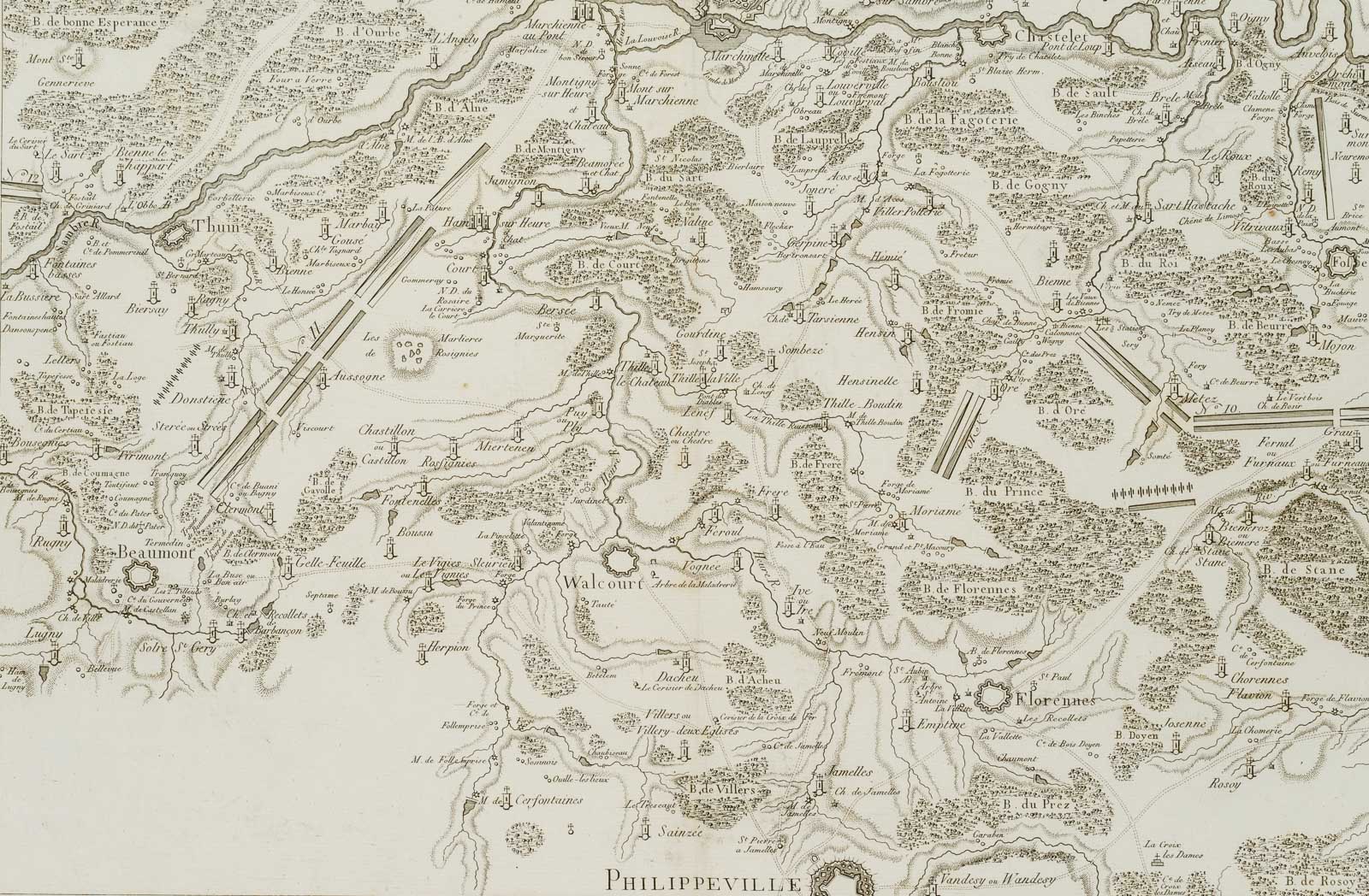
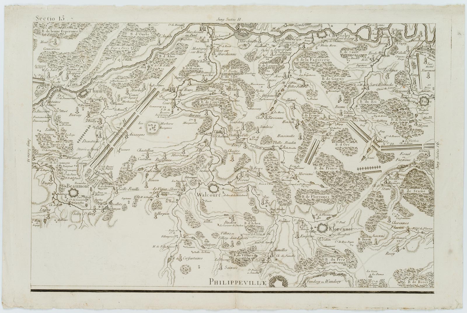
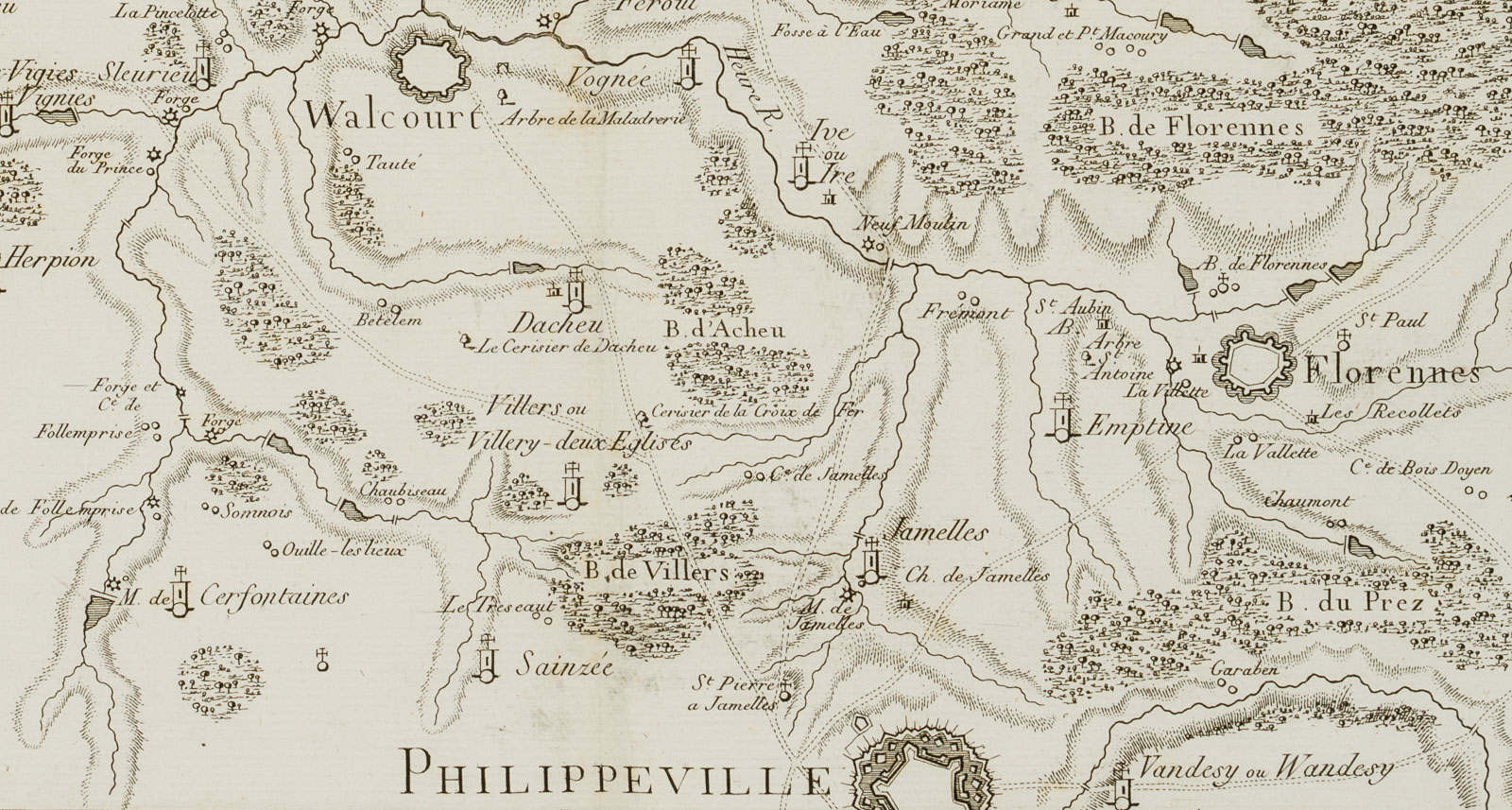
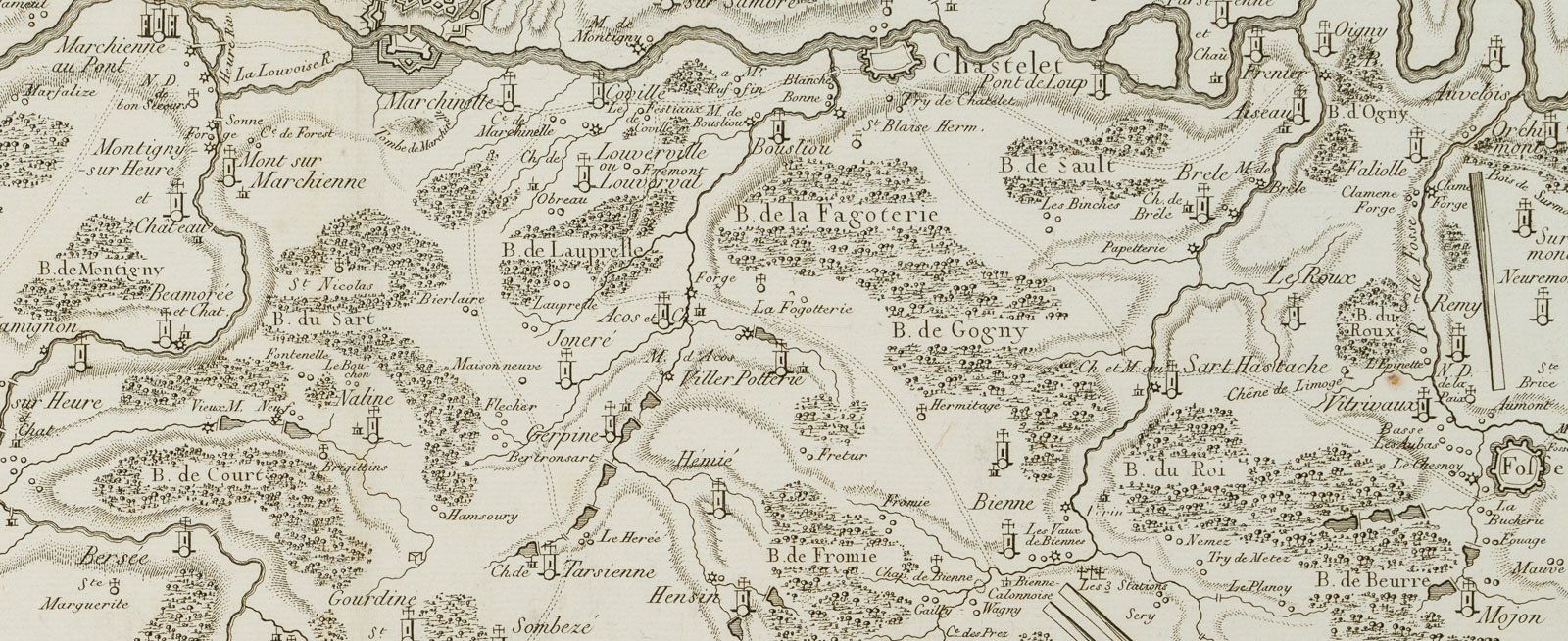
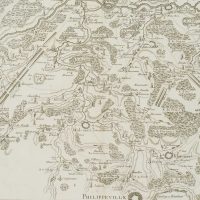
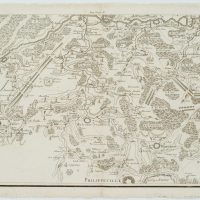
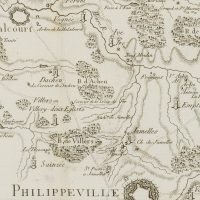
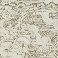
J. Martinet (18. Jahrhundert), Plan der Gegend um Philippeville, Walcourt & Beaumont, Belgien, 18. Jahrhundert, Kupferstich
- Technik: Kupferstich auf Büttenpapier
- Datierung: 18. Jahrhundert
- Beschreibung: Diese detaillierte Karte zeigt die Region um Philippeville, Beaumont, Florennes, Walcourt, Thuin, Charleroi und Chasselet in Belgien mit zahlreichen Schlachtaufstellungen damals. Die dekorative Druckgraphik stammt aus: ‘Histoire Militaire de Flandre depuis l’Annee 1690 jusqu’en 1694’ von le Chevalier de Beaurain, aus dem Jahr 1756. Es gilt als eine wichtige historische Quelle des Neunjährigen Krieges (1688-97). Dieser Krieg wird oft als “Krieg der Großen Allianz” bezeichnet oder auch der “Krieg der Augsburger Allianz”, ein vom französischen König Ludwig XIV provozierter Konflikt, um vom Heiligen Römischen Reich die Anerkennung seiner Erwerbungen im Rahmen seiner Reunionspolitik zu erreichen; gestochen von J. N. Martinet; oben links über der Darstellung bezeichnet “Sectio 15”. Aus einem berühmten Antiquariat aus München. | Wasserzeichen: “Sonntag”
- Schlagworte: Landkarten, Militär, Belgien, Gegenständlich, 1700-1749
- Größe: 36,5 cm x 55,0 cm, Darstellung: 31,6 cm x 48,0 cm
- Zustand: Sehr guter Zustand. Sehr guter Zustand mit Zeitspuren, etwas fleckig; an der Unterkante kleinere Läsuren und Bestoßungen, verso geklebt; wurde mittig vertikal gefaltet. Die Karte macht einen sehr guten Eindruck.
English Version:
J. Martinet (18th century), Plan of the Philippeville, Walcourt & Beaumont area, Belgium, 18th century, Copper engraving
- Technique: Copper engraving on
- Date: 18th century
- Description: This detailed map shows the region around Philippeville, Beaumont, Florennes, Walcourt, Thuin, Charleroi and Chasselet in Belgium with numerous battle deployments at that time. The decorative print is from: ‘Histoire Militaire de Flandre depuis l’Annee 1690 jusqu’en 1694’ by le Chevalier de Beaurain, from 1756. It is considered an important historical source of the Nine Years War (1688-97). This war is often referred to as the ‘War of the Grand Alliance’ or the ‘War of the Augsburg Alliance’, a conflict provoked by the French King Louis XIV to obtain recognition from the Holy Roman Empire of his acquisitions as part of his Reunion policy; engraved by J. N. Martinet; inscribed ‘Sectio 15’ above the image at upper left. From a famous antiquarian bookshop in Munich. | Watermark: “Sunday
- Keywords: 18th century, Figurative, Maps, Belgium,
- Size: 36,5 cm x 55,0 cm (14,4 x 21,7 in), Depiction: 31,6 cm x 48,0 cm (12,4 x 18,9 in)
- Condition: Very good condition. Very good condition with traces of time, a little bit stained; at the lower edge smaller lesions and bumps, glued on verso; was folded vertically in the middle. The map makes a very good impression.

