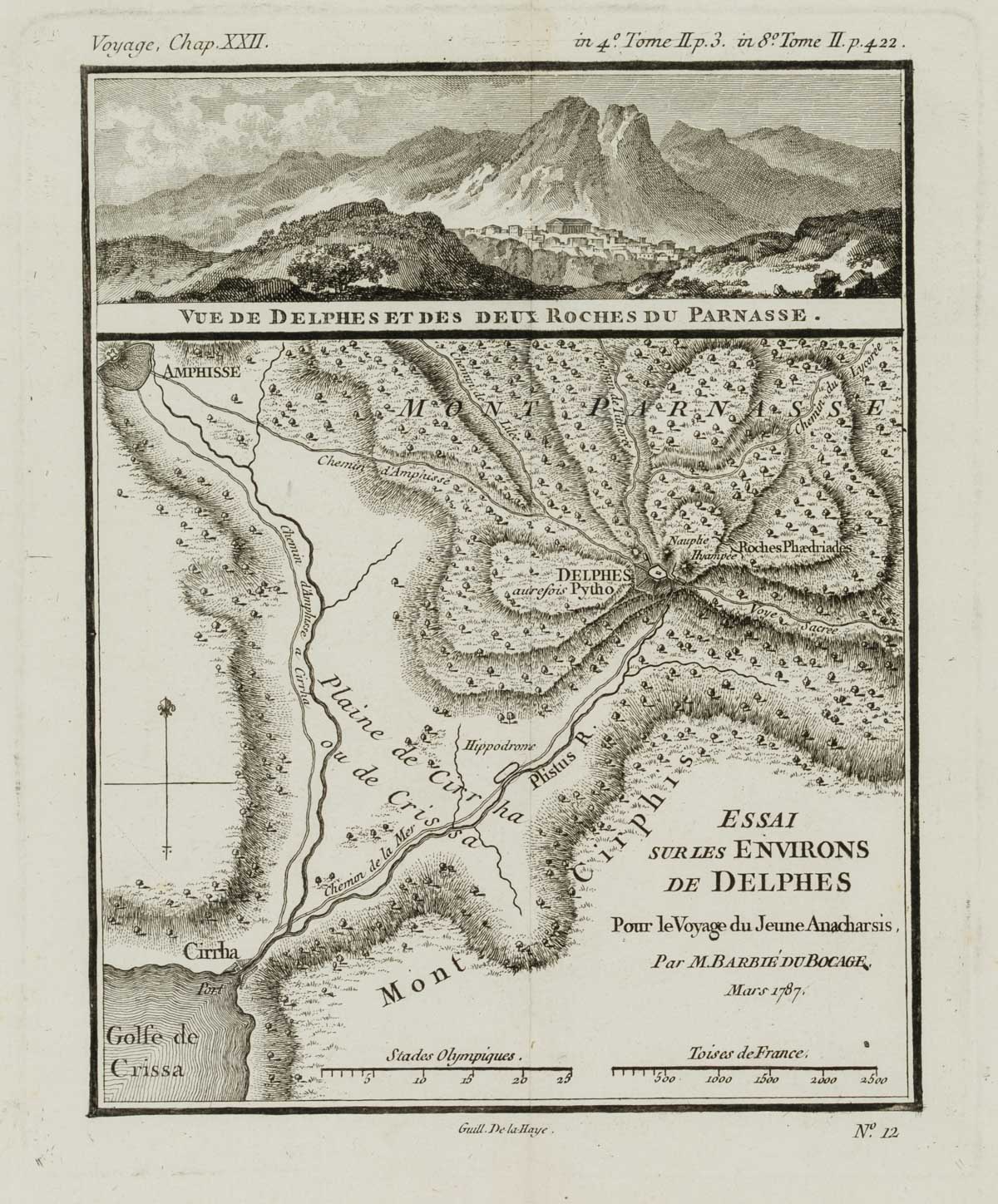
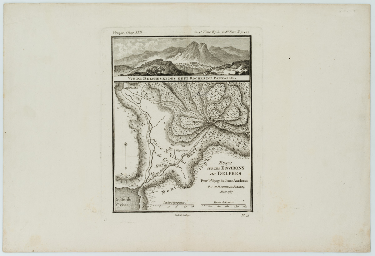
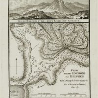
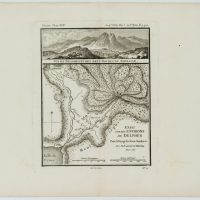
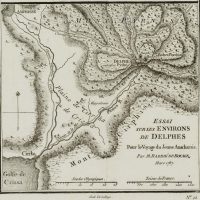
Guillaume Delahaye (1725 Paris – 1802 Les Carrières de Charenton), Topographische Karte von Delphi, Griechenland, 1787, Kupferstich
- Technik: Kupferstich auf Papier
- Datierung: 1787
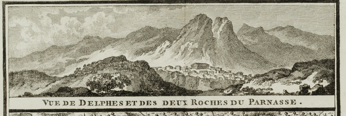
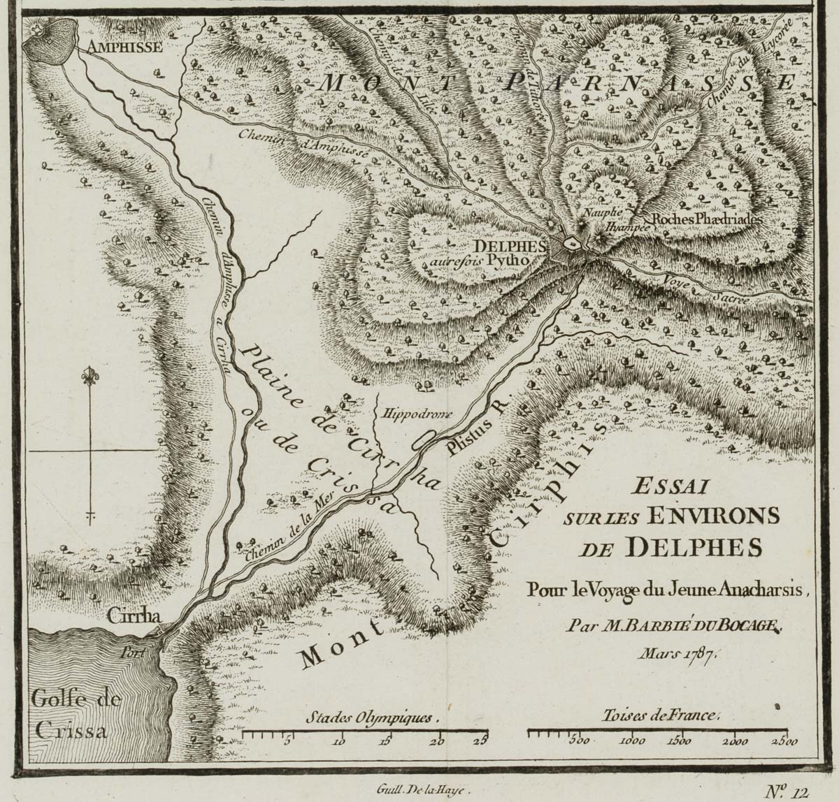
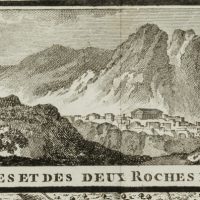
- Beschreibung: bezeichnet “Guill. De-la-Haye”, benannt “Vue de Delphe et des deux Roches du parnasse/Essai sur les environs de Delphes. Pour le Voyage du Jeune Anacharsis, par M. Barbié du Bocage/Mars 1787”. Topographische Umgebungskarte von Delphi, einer Stadt am Fuße des Parnass, die im antiken Griechenland besonders für ihr Orakel bekannt war. Delphi galt den Menschen der Antike als der Mittelpunkt der Welt. Dem Mythos zufolge ließ Zeus zwei Adler von je einem Ende der Welt aufsteigen, die sich in Delphi trafen. Der genaue Ort wurde durch den Omphalos angezeigt. Oberhalb der topographischen Karte ist eine Ansicht Delphis zu sehen, welches sich deutlich vor dem Massiv des Parnass abzeichnet.
- Schlagworte: Landkarten, Architektur, Griechenland, Klassizismus, 1750-1799
- Größe: 38,3 cm x 25,8 cm, Darstellung: 14,1 cm x 18,0 cm
- Zustand: Guter Zustand. Zum Teil blasse Verfärbungen entlang der Ränder, die Ecken sind bestoßen und weisen mitunter Knickspuren auf. Mittig eine vertikale Knickspur, vermutlich durch die einstige Einbindung in eine Publikation. Rückseitig blasse Verfärbungen.
English Version:
Guillaume Delahaye (1725 Paris – 1802 Les Carrières de Charenton), Topographic map of Delphi, Greece, 1787, Copper engraving
- Technique: Copper engraving on Paper
- Date: 1787
- Description: inscribed “Guill. De-la-Haye”, entitled “Vue de Delphe et des deux Roches du parnasse/Essai sur les environs de Delphes. Pour le Voyage du Jeune Anacharsis, par M. Barbié du Bocage/Mars 1787”. Topographical map of the surroundings of Delphi, a city at the foot of Mount Parnassus, which was particularly famous in ancient Greece for its oracle. Delphi was considered by the ancients to be the centre of the world. According to the myth, Zeus sent two eagles, each from one end of the world, to meet at Delphi. The exact location was indicated by the omphalos. Above the topographical map is a view of Delphi, which stands out clearly against the massif of Mount Parnassus.
- Keywords: 18th century, Classicism, Maps, Greece,
- Size: 38,3 cm x 25,8 cm (15,1 x 10,2 in), Depiction: 14,1 cm x 18,0 cm (5,6 x 7,1 in)
- Condition: Good condition. Partly pale discolouration along the margins, the corners are bumped and sometimes show traces of creasing. A vertical crease in the centre, presumably due to the former inclusion in a publication. Pale discolourations on the back.

