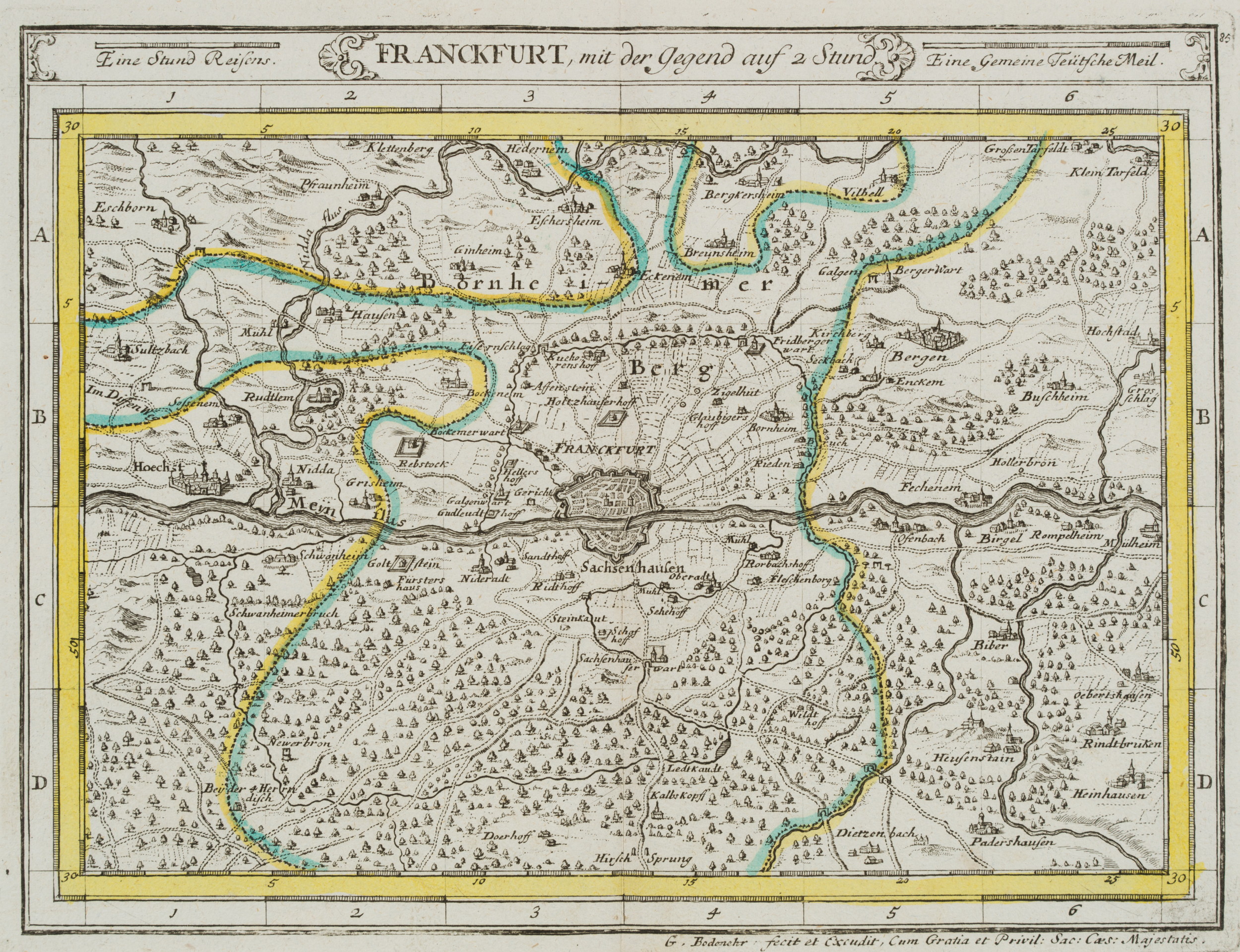
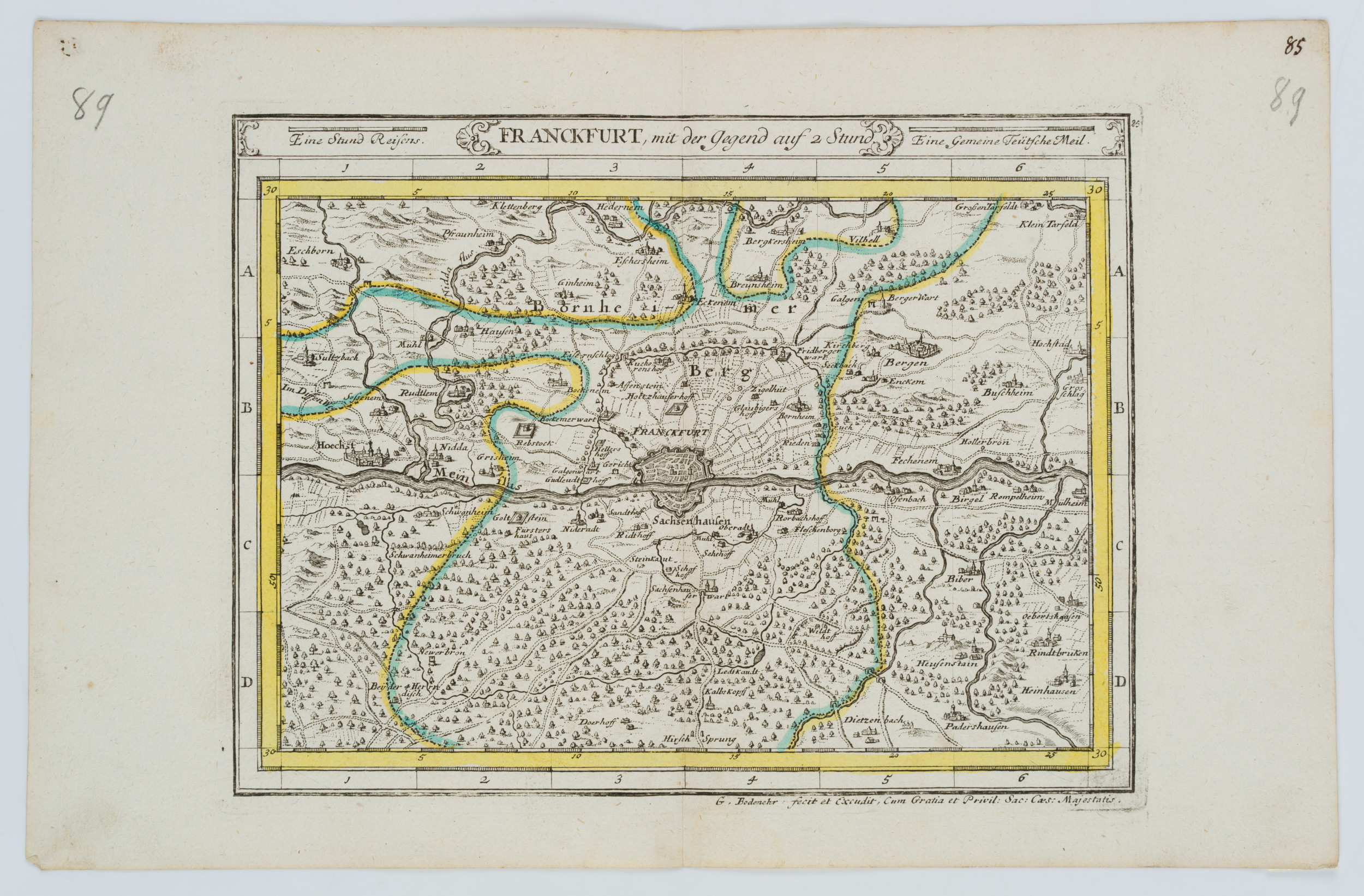
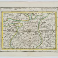
Gabriel Bodenehr (1664 – 1758 ebd.), Franckfurt mit der Gegend um 2 Stund. Landkarte von Frankfurt und dessen Umgebung, um 1716, Radierung
- Technik: Radierung auf Papier
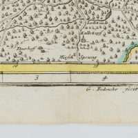
- Bezeichnung: Unten rechts im Druck signiert: “G. Bodenehr fecit et excudit, Cum Gratia et Privil: Sac: Caes: Majestatis”. Oben mittig im Druck bezeichnet: “Eine Stund Reisens | Franckfurt, mit der Gegnd auf 2 Stund | Eine Gemeine Teutsche Meil.”. Oben rechts im Druck nummeriert: “85”.
- Datierung: um 1716
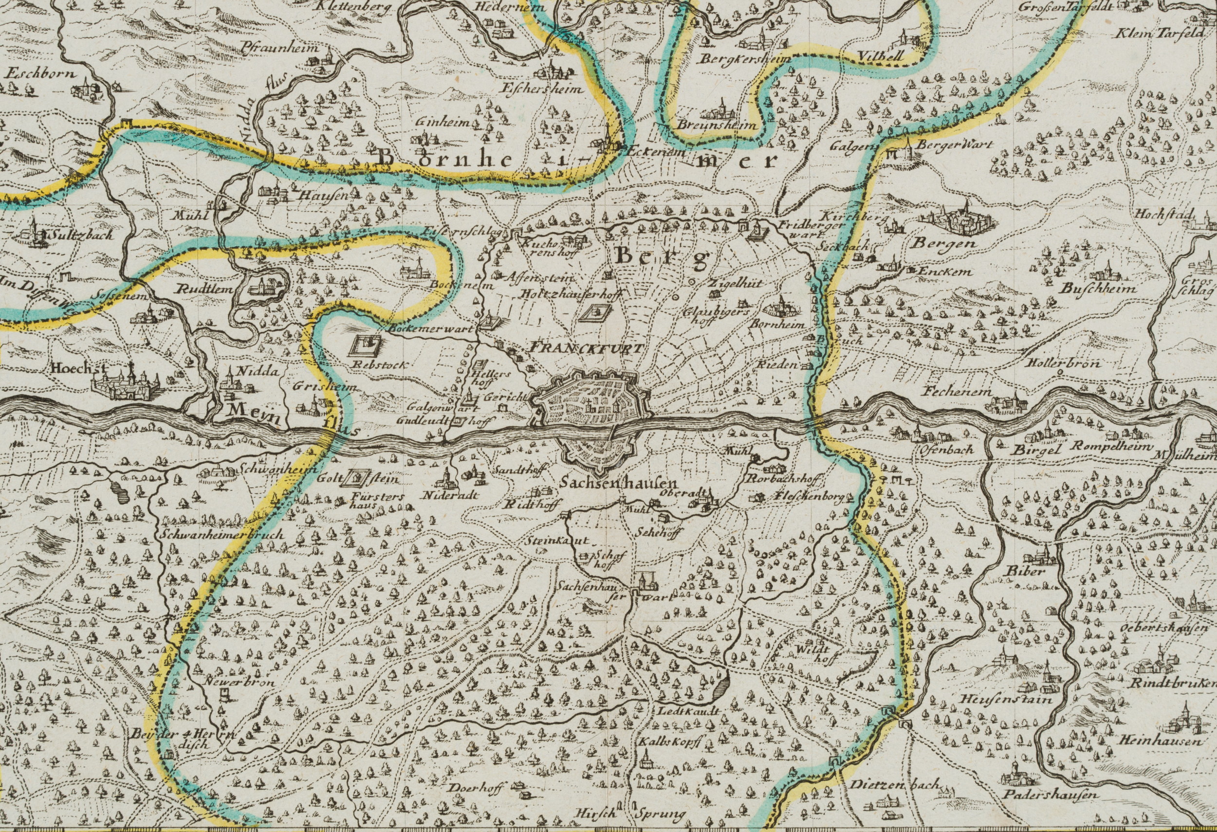
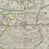
- Beschreibung: Landkarte mit Frankfurt im Mittelpunkt und alle Gegenden, die von dort innerhalb von 2 Stunden erreichbar sind. Mit illustrierten Gebäuden und Bäumen als Waldstücke.
- Quelle: Gabriel Bodenehr (1673 Augsburg-1765 Augsburg) Atlas Curieux oder Neuer und Compendieuser Atlas, 1704 | Buch, Wissenschaft
- Schlagworte: historisches Frankfurt, Frankfurter Geschichte, Kartographie, Stadtplan, Landkarten, Deutschland, Frankfurt am Main, Barock, 1700-1749
- Größe: 20,8 cm x 32,2 cm, Druckplatte: 17,6 cm x 23,0 cm, Darstellung: 16,8 cm x 22,4 cm
- Zustand: Guter Zustand. Auf der Mitte senkrecht gefaltet. Verso mit Klebestreifen, der kenntlich macht, dass die Karte einem Buch entnommen wurde. Das Blatt hat sich altersgemäß verfärbt und ist vereinzelt stockfleckig.
English Version:
Gabriel Bodenehr (1664 – 1758 ibid.), Franckfurt with the area around 2 hrs Map of Frankfurt and its surroundings, c. 1716, Etching
- Technique: Etching on Paper
- Inscription: Lower right signed in the printing plate: “G. Bodenehr fecit et excudit, Cum Gratia et Privil: Sac: Caes: Majestatis”. Upper middle inscribed in the printing plate: “Eine Stund Reisens | Franckfurt, mit der Gegnd auf 2 Stund | Eine Gemeine Teutsche Meil.”. Upper right numbered in the printing plate: “85”.
- Date: c. 1716
- Description: Map with Frankfurt in the centre and all areas that can be reached from there within 2 hours. With illustrated buildings and trees as forest pieces
- Source: Gabriel Bodenehr (1673 Augsburg-1765 Augsburg) Atlas Curieux oder Neuer und Compendieuser Atlas, 1704 | Book, Science
- Keywords: historical Frankfurt, Frankfurt history, cartography, city map, 18th century, , , ,
- Size: 20,8 cm x 32,2 cm (8,2 x 12,7 in), Plate: 17,6 cm x 23,0 cm (6,9 x 9,1 in), Depiction: 16,8 cm x 22,4 cm (6,6 x 8,8 in)
- Condition: Good condition. Folded vertically in the centre. With adhesive tape on verso, indicating that the map was taken from a book. The sheet has discoloured due to its age and is sporadically foxed.

