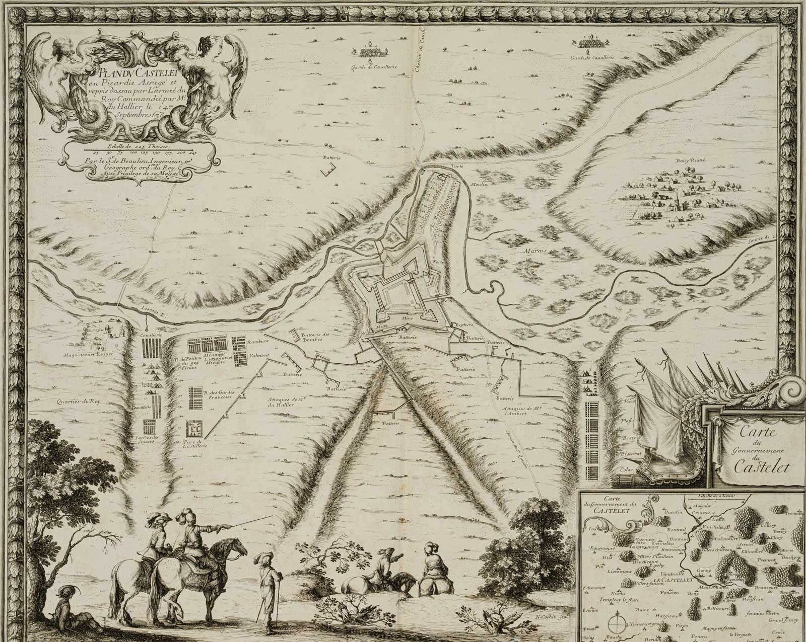
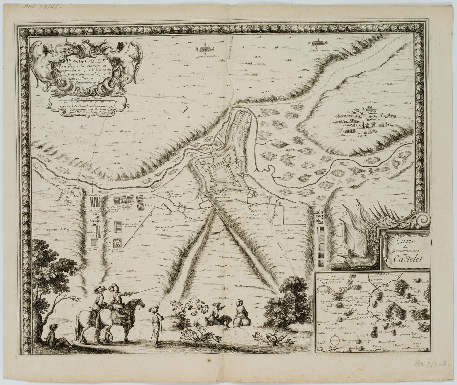
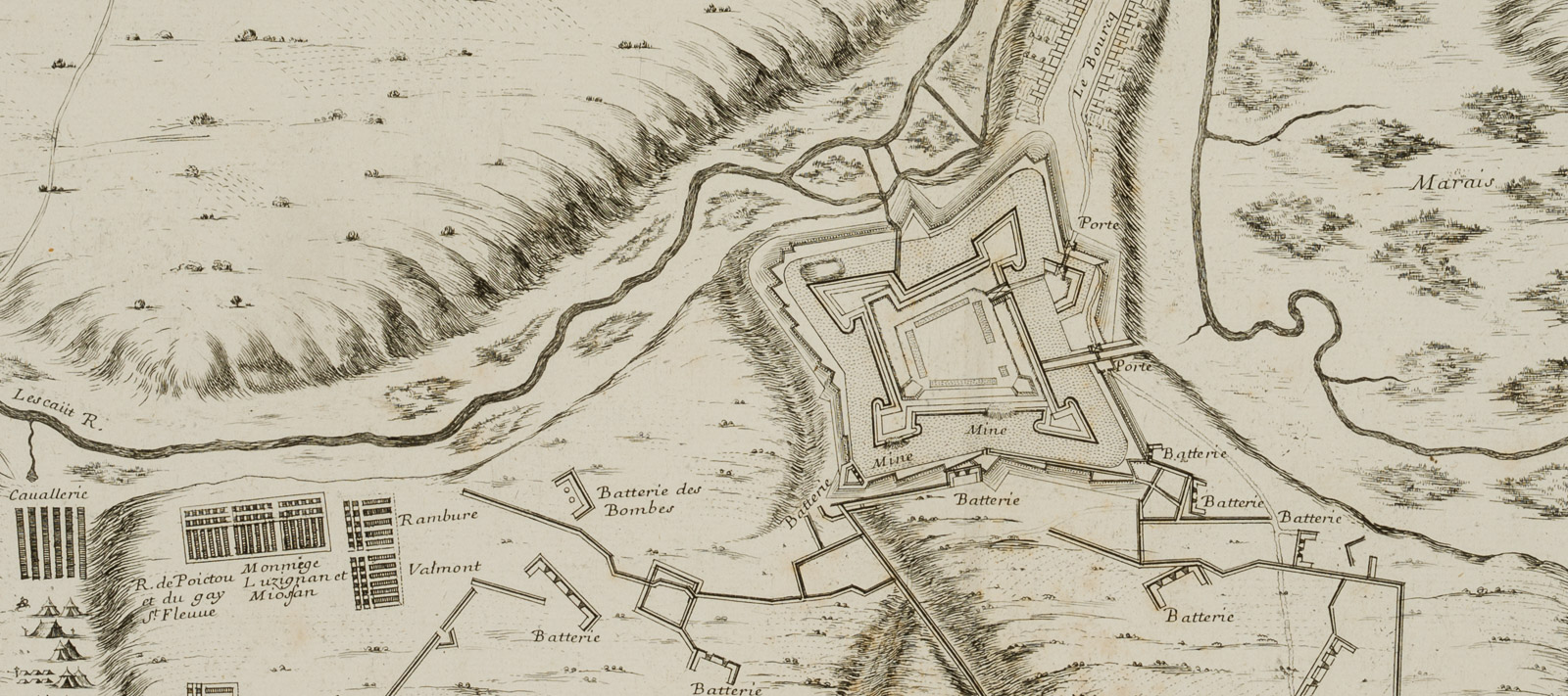
Noel Cochin (17. Jahrhundert), Militärische Karte, Stadtbefestigung von Castelet, Picardie, 18. Jahrhundert, Kupferstich
- Technik: Kupferstich auf Papier
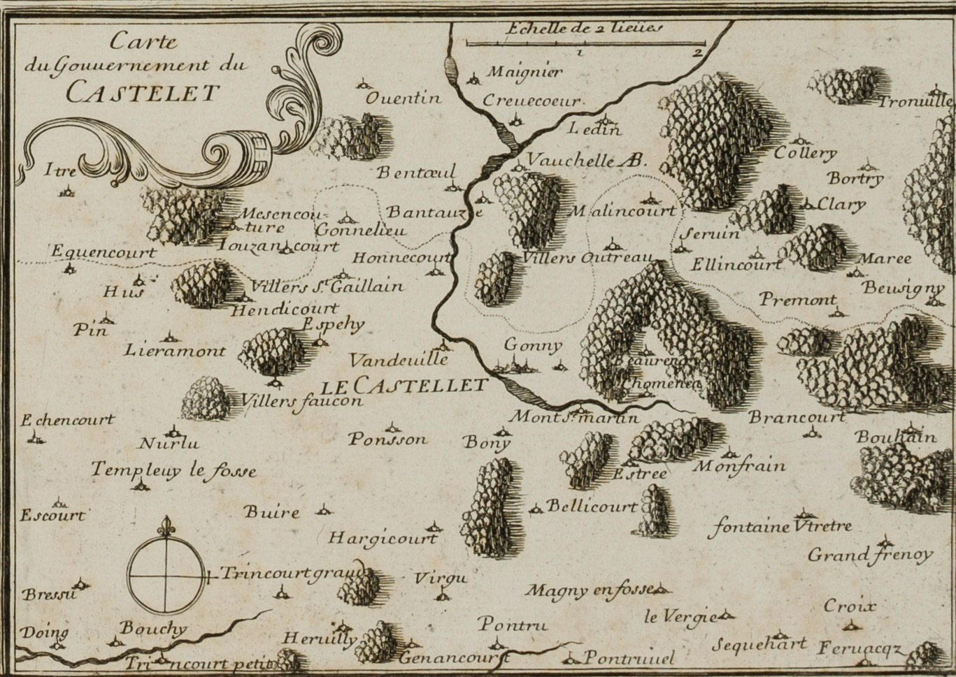
- Bezeichnung: Rechts unten mit einer Nebenkarte vom “Gouvernement du CASTELET”.
- Datierung: 18. Jahrhundert
- Beschreibung: Oben links in der Kartusche beschriftet mit “PLAN DV CASTELET en Picardie Assiegé et repris dassau par L’armée du Roy Commandée par Mr. du Hallier le 14.me Septembre 1638 Par le Sr. de Beaulieu Ingenieur [et] Geographe ord.re du Roy. Auec priuilege de Sa Majesté.” Die Karte ist anschaulich illustriert und beschriftet. Im Vordergrund reitet eine Gruppe Soldaten vorbei. Sie sichten die Landschaft bzw. die Karte und scheinen die folgenden militärischen Schachzüge zu besprechen.
- Schlagworte: Landkarten, Militär, Frankreich, Gegenständlich, 1700-1749
- Größe: 48,2 cm x 57,5 cm, Druckplatte: 43,0 cm x 53,2 cm, Darstellung: 42,8 cm x 53,2 cm
- Zustand: Guter Zustand. Das Blatt hat sich insbesondere an den Blatträndern altersgemäß verfärbt. Die Blattränder, vorallem der untere, sind stellenweise stockfleckig. Das Blatt wurde über die Mitte vertikal gefaltet. Die Knickfalte hat am unteren Rand Bereibungsspuren und am oberen einen 2 cm langen Einriss verursacht. Die Ränder sind leicht knitterfaltig.
English Version:
Noel Cochin (17th century), Military map, town fortification of Castelet, Picardy, 18th century, Copper engraving
- Technique: Copper engraving on Paper
- Inscription: Bottom right with a secondary map of the “Gouvernement du CASTELET”.
- Date: 18th century
- Description: Inscribed in the upper left cartouche “PLAN DV CASTELET en Picardie Assiegé et repris dassau par L’armée du Roy Commandée par Mr. du Hallier le 14.me Septembre 1638 Par le Sr. de Beaulieu Ingenieur [et] Geographe ord.re du Roy. Auec priuilege de Sa Majesté.” The map is vividly illustrated and labelled. In the foreground a group of soldiers are riding past. They are surveying the landscape and the map respectively and seem to be discussing the following military moves.
- Keywords: 18th century, Figurative, Maps, France,
- Size: 48,2 cm x 57,5 cm (19 x 22,6 in), Plate: 43,0 cm x 53,2 cm (16,9 x 20,9 in), Depiction: 42,8 cm x 53,2 cm (16,9 x 20,9 in)
- Condition: Good condition. The sheet has discoloured due to its age, especially at the sheet margins. The margins, especially the lower one, are foxed in places. The sheet has been folded vertically across the centre. The crease has caused traces of rubbing at the lower margin and a 2 cm tear at the upper margin. The margins are slightly creased.

