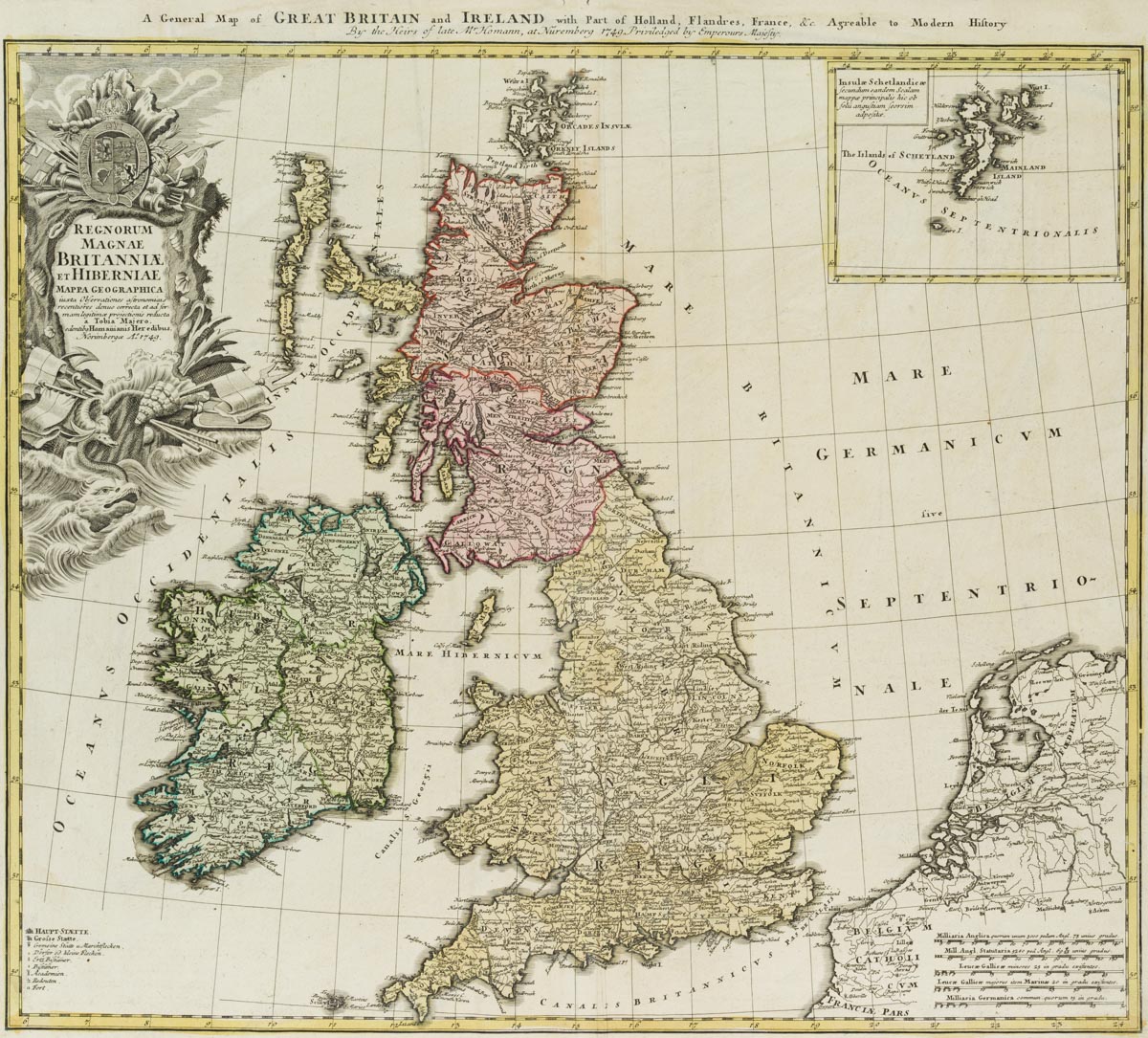
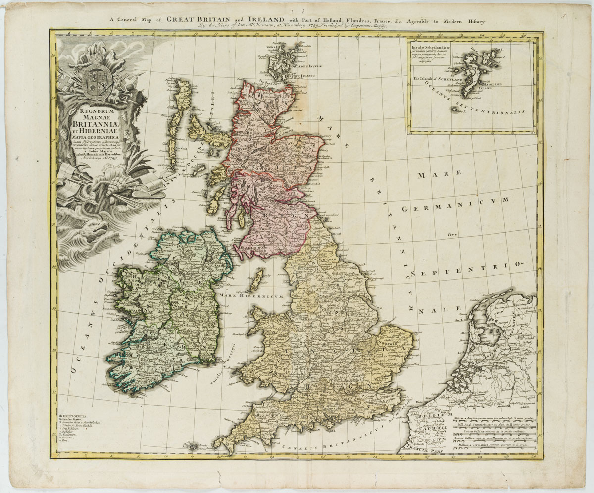
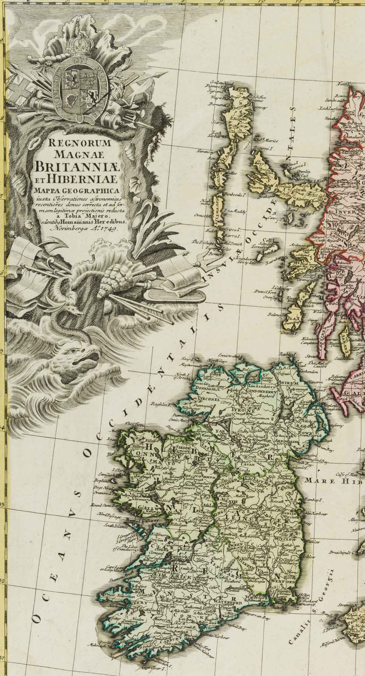
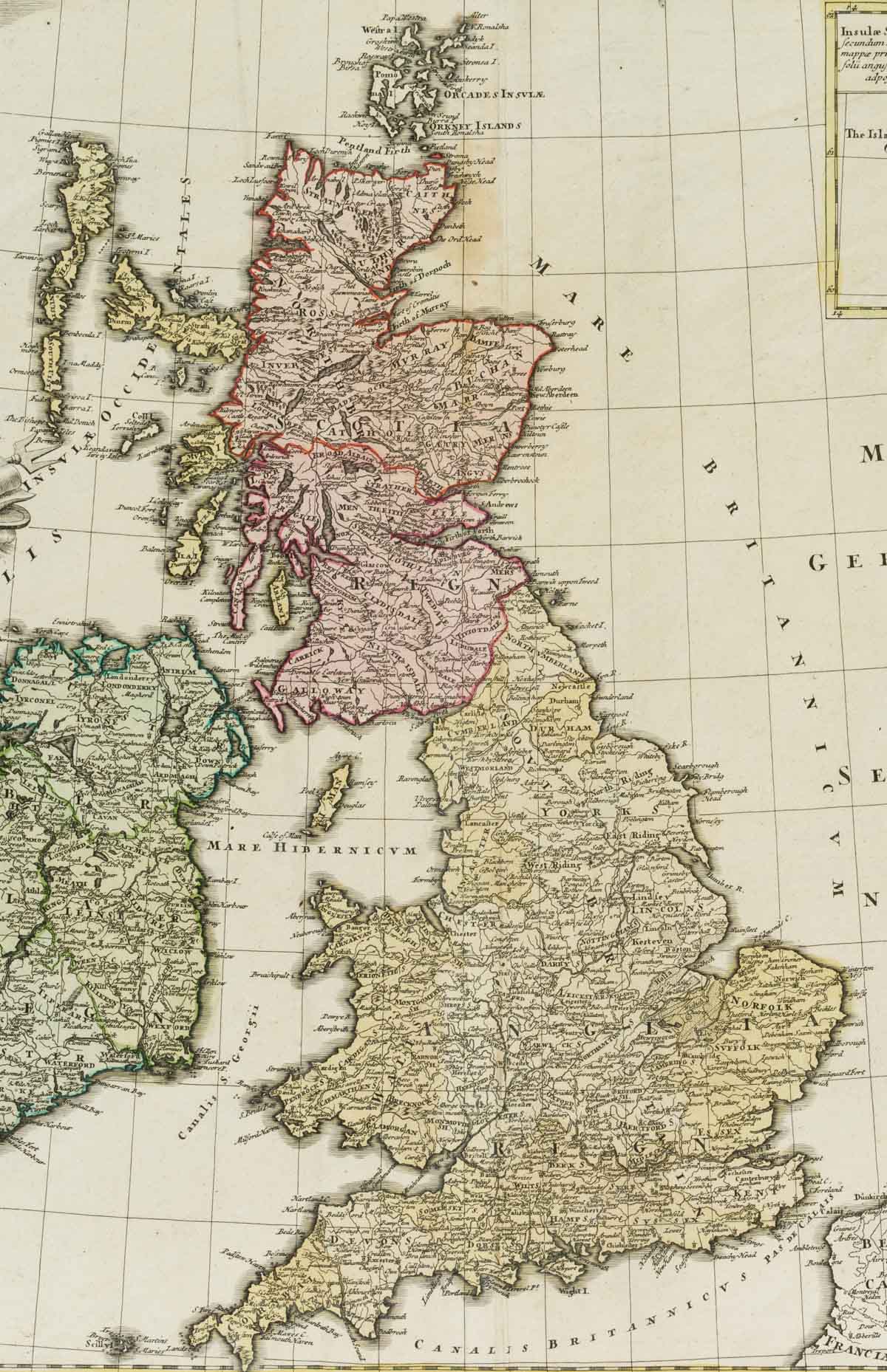
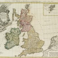
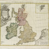
Johann Baptist Homann (1664 Kambach – 1724 Nürnberg), Landkarte Großbritanniens und Irlands, 1749, Kupferstich
- Technik: Handkolorierter Kupferstich auf Papier
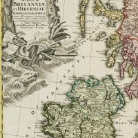
- Bezeichnung: Bezeichnet “Homanianis Heredibus”, datiert “1749”, benannt “Regnorum Magnae Britanniae et Hiberniae”.
- Datierung: 1749
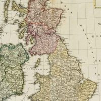
- Beschreibung: Landkarte Großbritanniens und Irlands von 1749. Detailreiche Wiedergabe der topographischen Befunde. Die alte Kolorierung unterscheidet deutlich in die Regionen England und Schottland.
- Schlagworte: Landkarten, Großbritannien, Barock, 1700-1749
- Größe: 63,0 cm x 52,7 cm
- Zustand: Guter Zustand. Vereinzelt Verfärbungen, besonders im Bereich der Ränder des Blattes. Die Ecken sind bestoßen, Vertikale Knickspuren durch frühere Faltungen. Der untere Rand ist durch Wurmfraß beschädigt.
English Version:
Johann Baptist Homann (1664 Kambach – 1724 Nuremberg), Map of Great Britain and Ireland, 1749, Copper engraving
- Technique: Hand colored Copper engraving on Paper
- Inscription: Inscribed “Homanianis Heredibus”, dated “1749”, named “Regnorum Magnae Britanniae et Hiberniae”.
- Date: 1749
- Description: Map of Great Britain and Ireland from 1749. Detailed reproduction of the topographical findings. The old colouring clearly distinguishes between the regions of England and Scotland.
- Keywords: 18th century, Baroque, Maps, United Kingdom,
- Size: 63,0 cm x 52,7 cm (24,8 x 20,7 in)
- Condition: Good condition. Isolated discolourations, especially in the area of the margins of the sheet. The corners are bumped, vertical crease marks due to earlier folding. The lower margin is damaged by worm damage.

