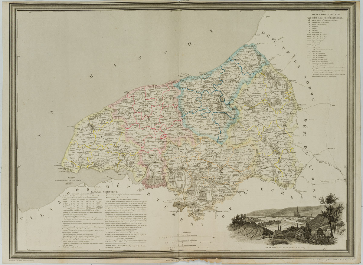
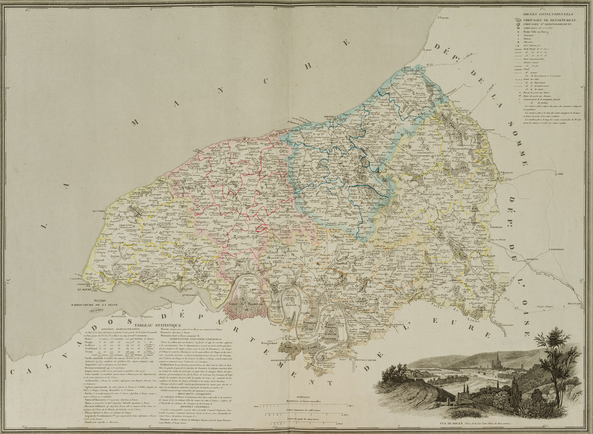
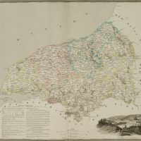
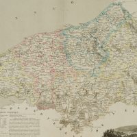
Laguillermie (19. Jahrhundert) nach C.V. Monin (19. Jahrhundert), Landkarte Seine-Maritime, 1835, Radierung
- Technik: Handkolorierte Radierung und Kupferstich auf Papier
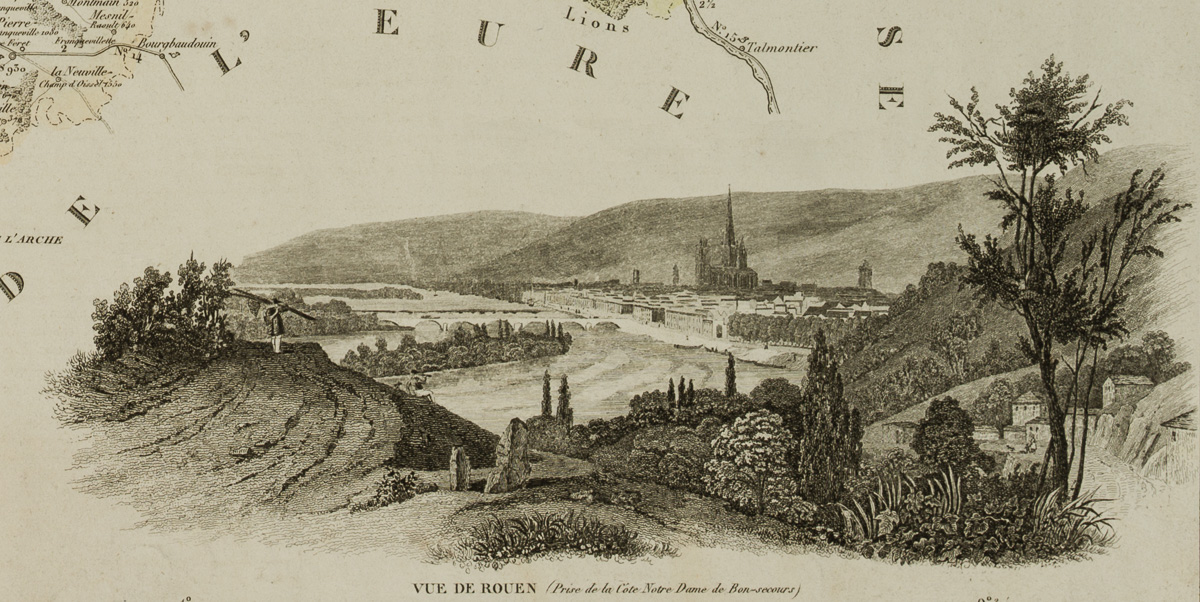
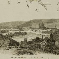
- Bezeichnung: Unten im Druck bezeichnet: “Gravé sur Acier par Laguillermie-Abel Malo, Rue des Noyer, 56, Paris”, “Dressé par C.V. Monin, ingenieur géographe”. Rechts unten mit einer Stadtansicht von Rouen.
- Datierung: 1835
- Beschreibung: Landkarte des Département Seine-Maritime im Jahr 1835. Es liegt im Norden Frankreichs, in der Region Normandie und ist nach dem Fluss Seine und seiner maritimen Lage benannt.
- Schlagworte: Landkarten, Frankreich, Romantik, 1800-1849
- Größe: 67,3 cm x 48,8 cm, Darstellung: 64,7 cm x 47,7 cm
- Zustand: Guter Zustand. Vereinzelt blasse Verfärbungen und schwache Knickspuren. Der untere Rand ist mittig leicht beschädigt. Vertikale Knickspur mittig.
English Version:
Laguillermie (19th century) after C.V. Monin (19th century), Map Seine-Maritime, 1835, Etching
- Technique: Hand colored Etching and Copper engraving on Paper
- Inscription: At the lower part inscribed in the printing plate: “Gravé sur Acier par Laguillermie-Abel Malo, Rue des Noyer, 56, Paris”, “Dressé par C.V. Monin, ingenieur géographe”. Bottom right with a city view of Rouen.
- Date: 1835
- Description: Map of the department of Seine-Maritime in 1835. It is located in the north of France, in the region of Normandy and is named after the river Seine and its maritime location.
- Keywords: 19th century, Romanticism, Maps, France,
- Size: 67,3 cm x 48,8 cm (26,5 x 19,2 in), Depiction: 64,7 cm x 47,7 cm (25,5 x 18,8 in)
- Condition: Good condition. Isolated pale discolourations and faint creases. The lower margin is slightly damaged in the centre. Vertical crease mark in the centre.

