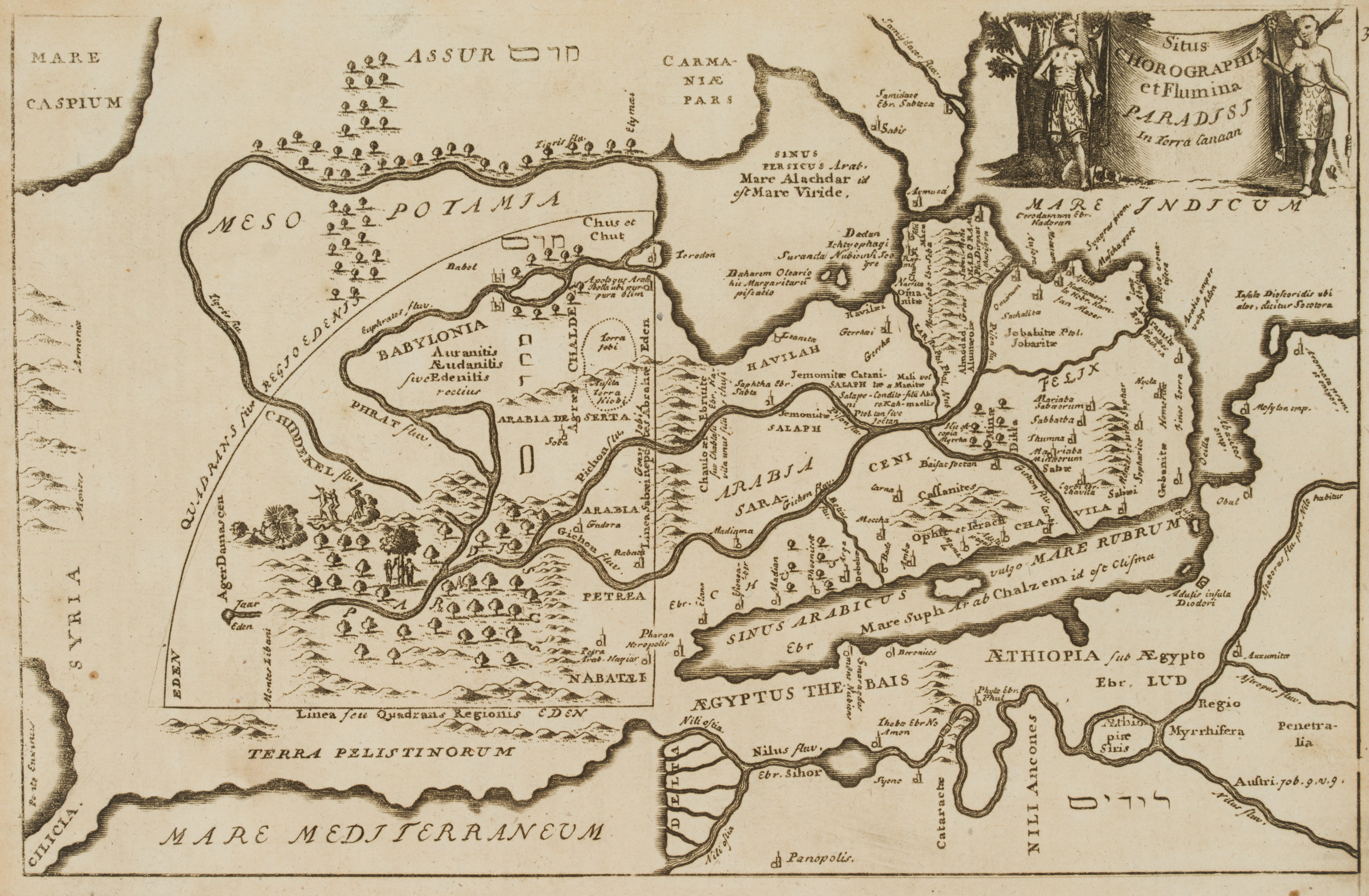
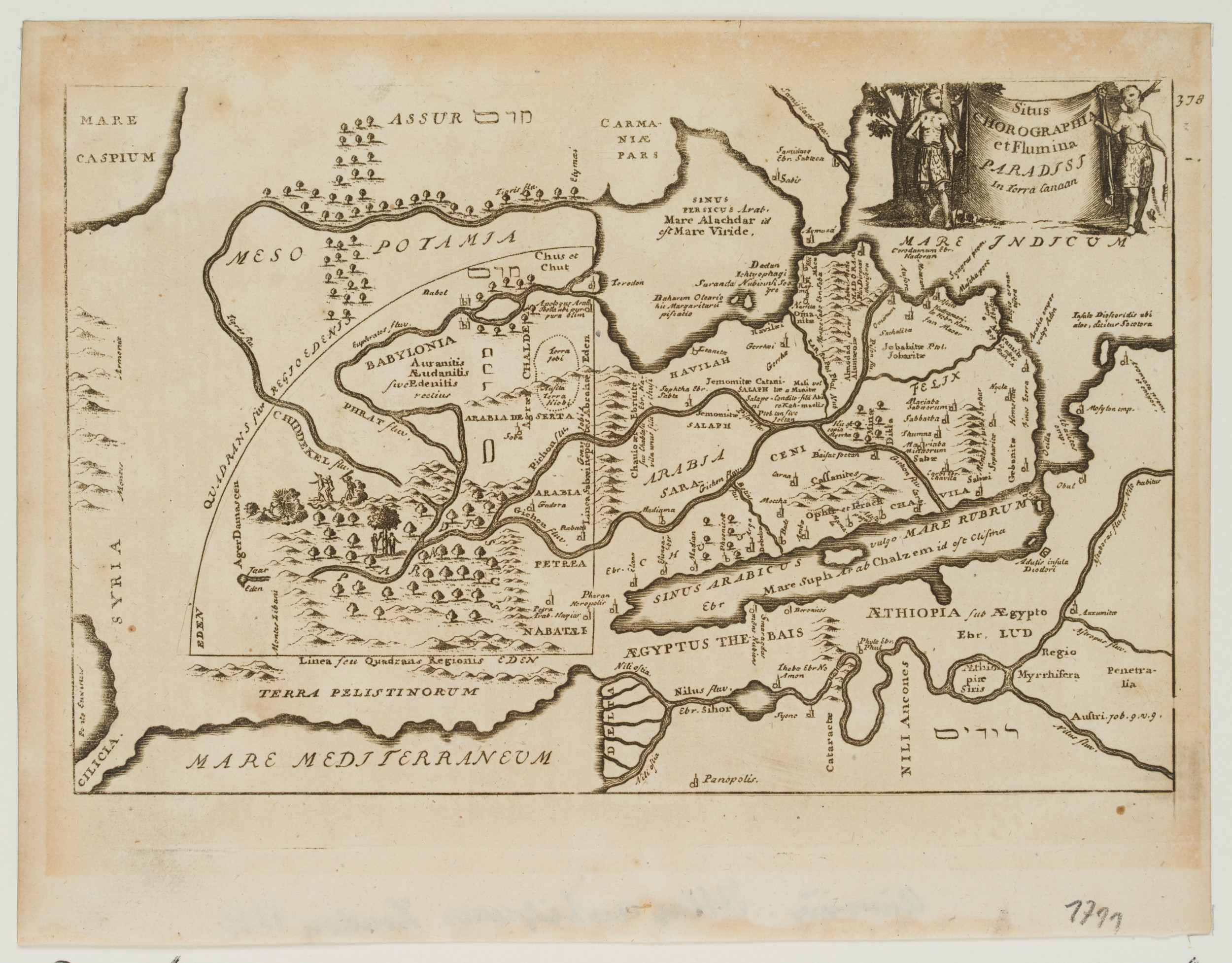
John Senex (unb. -1740 ebd.), Flumina Paradisi. Geographische Karte Mesopotamiens, um 1711, Kupferstich
- Technik: Kupferstich auf Papier
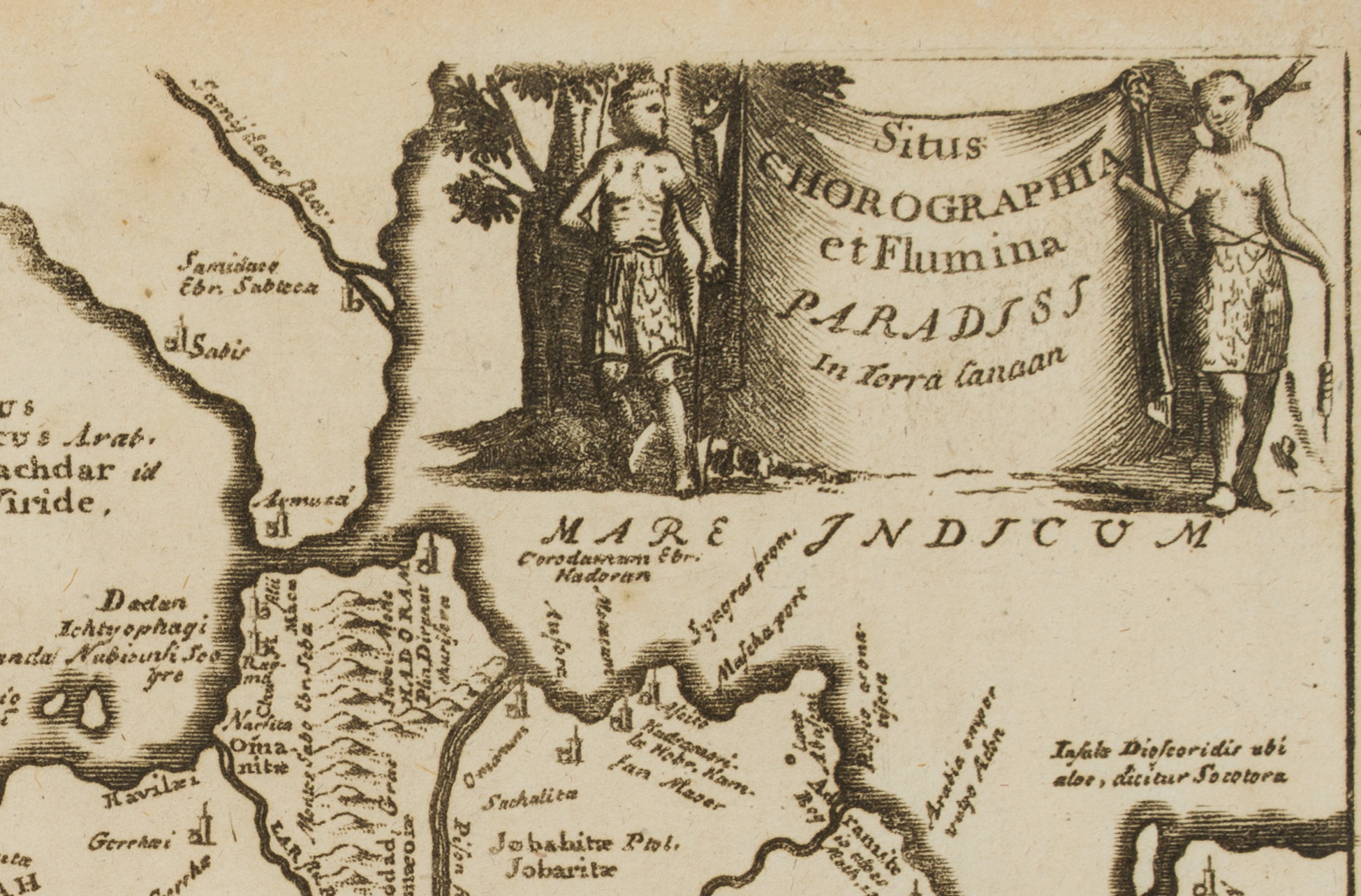
- Bezeichnung: Oben rechts im Druck bezeichnet: “Situs Chorographia et Flumina Paradisi in Terra Canaan”.
- Datierung: um 1711
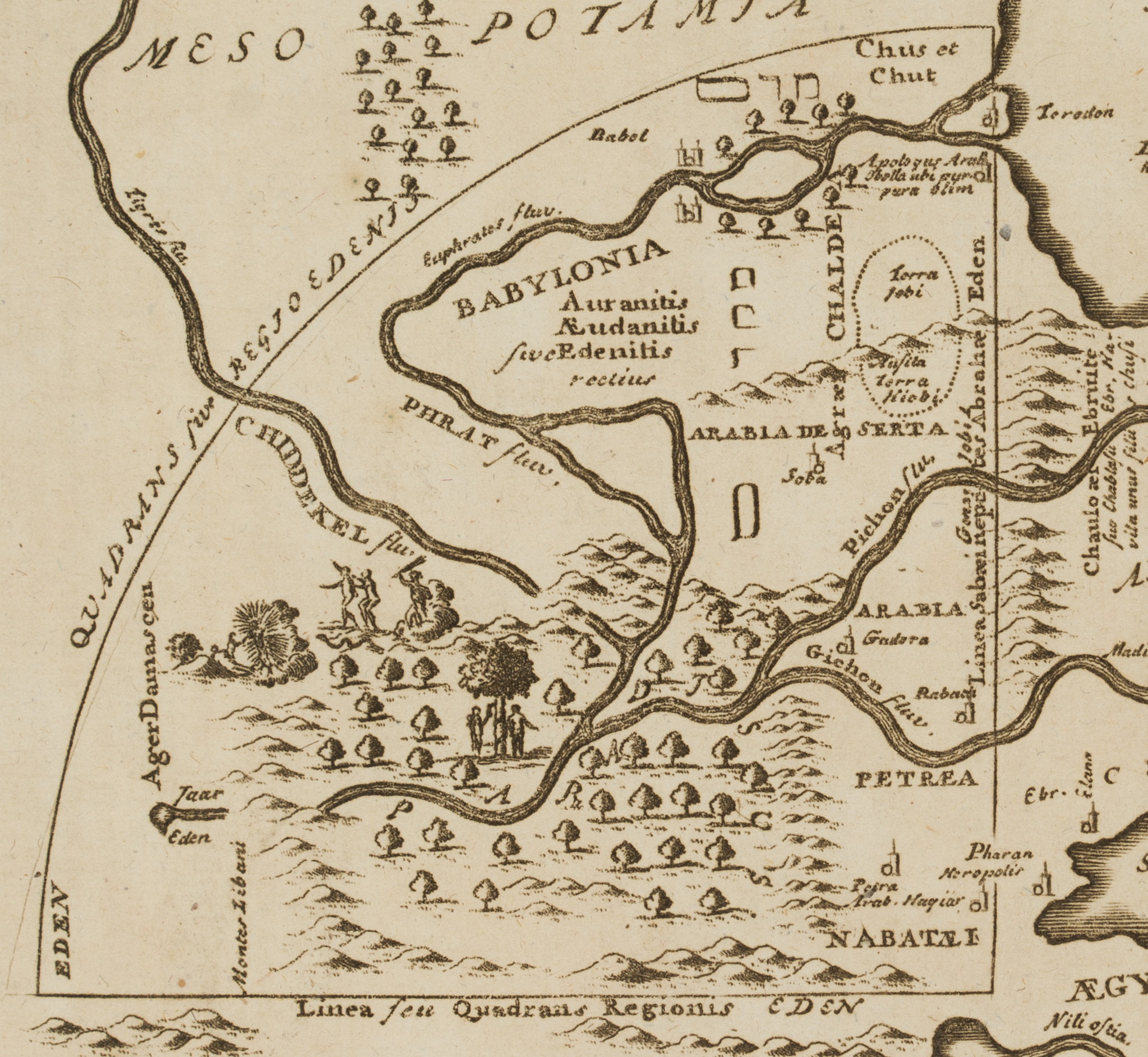
- Beschreibung: Mehrsprachige geographische Karte mit Flüssen und Gewässern im Gebiet Mesopotamiens.
- Quelle: Philipp Clüver (1580 Danzig-1622 Leiden) Atlas antiquus, 1711 | Buch, Landschaft
- Schlagworte: Mesopotamien, Arabien, Ägypten, Mittelmeer, Flüsse, Gewässer, Landkarten, Saudi-Arabien, Klassizismus, 1700-1749
- Größe: 17,6 cm x 22,8 cm, Darstellung: 13,5 cm x 21,0 cm
- Zustand: Guter Zustand. Das Blatt ist altersbedingt verfärbt. Leichter Lichtrand. Entlang der unteren Blattkante sowie mittig leicht wellig.
English Version:
John Senex (unkn. -1740 ibid.), Flumina Paradisi Geographical map of Mesopotamia, c. 1711, Copper engraving
- Technique: Copper engraving on Paper
- Inscription: Upper right inscribed in the printing plate: “Situs Chorographia et Flumina Paradisi in Terra Canaan”.
- Date: c. 1711
- Description: Multilingual geographical map with rivers and water bodies in the area of Mesopotamia.
- Source: Philipp Clüver (1580 Gdansk-1622 Leiden) Atlas antiquus, 1711 | Book, Landscape
- Keywords: Mesopotamia, Arabia, Egypt, Mediterranean Sea, Rivers, Waters, 18th century, Classicism, Maps, Saudi Arabia,
- Size: 17,6 cm x 22,8 cm (6,9 x 9 in), Depiction: 13,5 cm x 21,0 cm (5,3 x 8,3 in)
- Condition: Good condition. The sheet is discoloured due to its age. Slightly light margins. Slightly wavy along the lower edge and in the centre.


