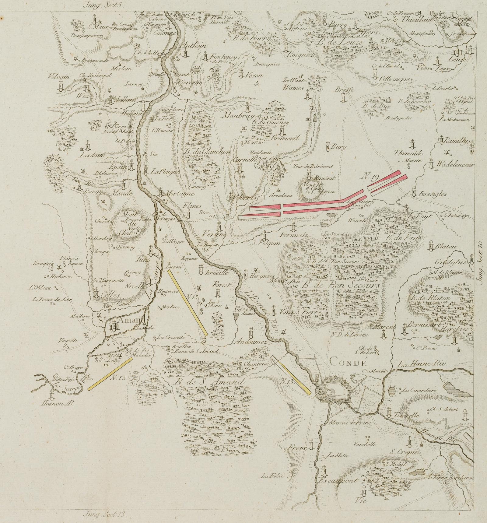
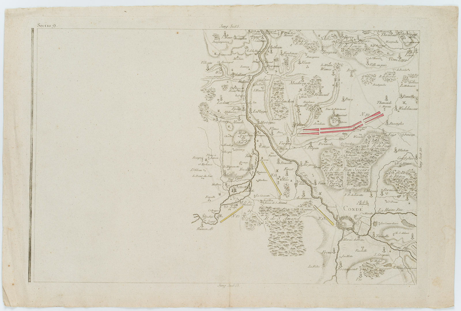
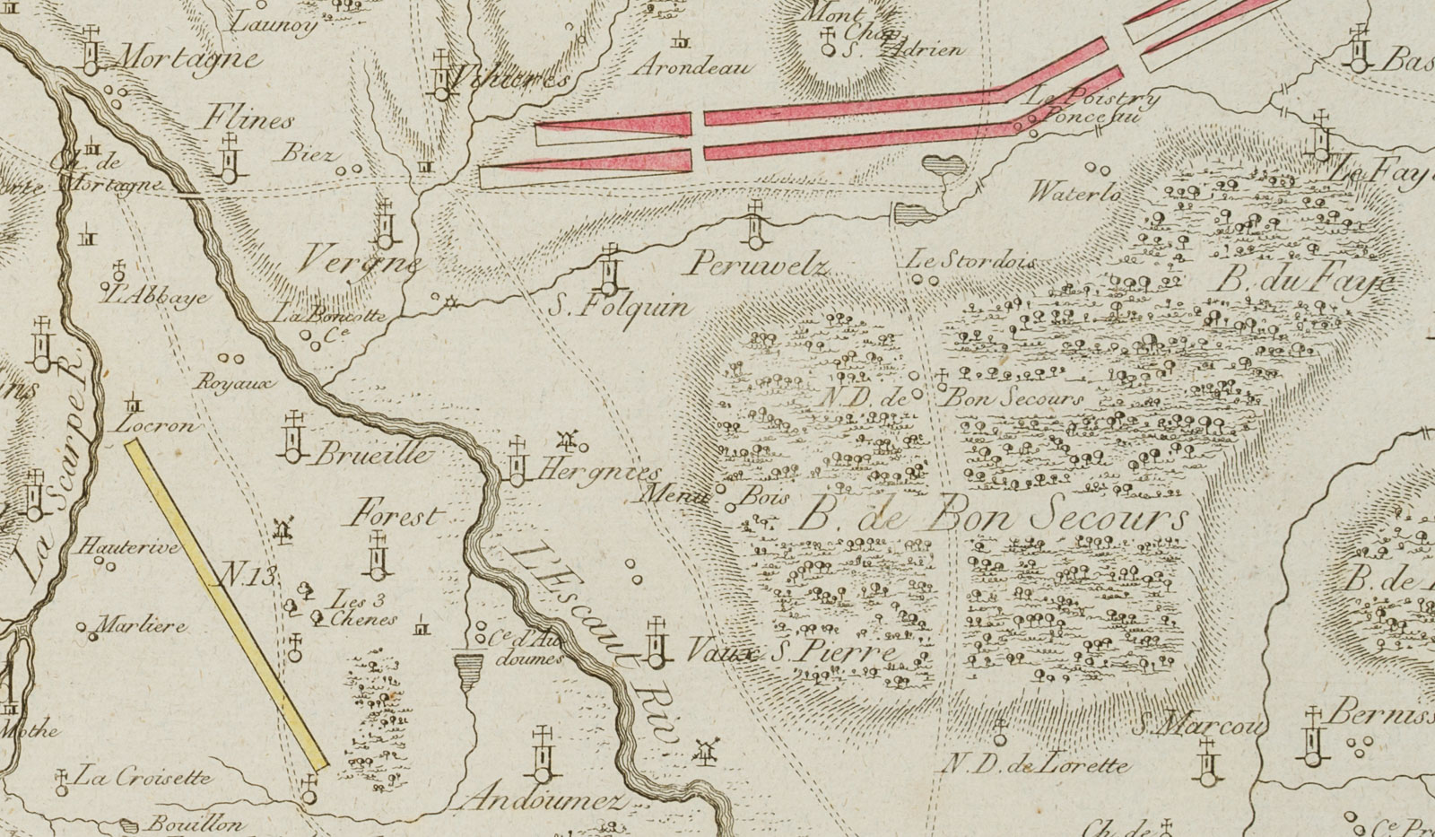
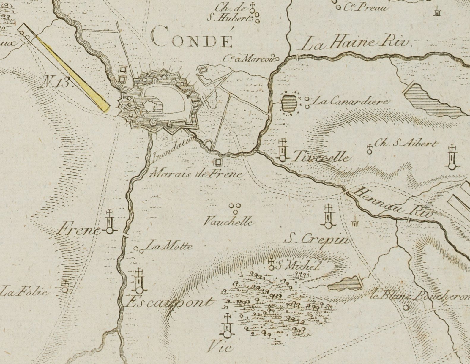
Unbekannt (18. Jahrhundert), Landkarte, Gegend in Belgien, Condé u. Maubray, Probedruck, 18. Jahrhundert, Kupferstich
- Technik: Handkolorierter Kupferstich auf Büttenpapier
- Datierung: 18. Jahrhundert
- Beschreibung: Im oberen Rand bezeichnet mit “Sectio 9”, “Jung Sect.5”, “Jung Sect. 10”. Der teilkolorierte Probedruck zeigt im rechten Bildbereich in Vogelschau eine Region in Belgien um Condé, Amand, Maubray, Blaton, nahe an der Grenze zu Frankreich. Aus einem berühmten Antiquariat in München.
- Schlagworte: Landkarten, Stadtbilder, Belgien, Gegenständlich, 1700-1749
- Größe: 37,3 cm x 56,0 cm, Druckplatte: 34,6 cm x 50,5 cm, Darstellung: 31,5 cm x 47,5 cm
- Zustand: Guter Zustand. Die Karte ist altersgemäß gebräunt und stockfleckig und wurde vertikal einmal gefaltet; stellenweise mit Knickspuren, im rechten Randbereich leicht wasserfleckig. Die Karte macht einen sehr guten Eindruck.
English Version:
Unknown (18th century), Map, region in Belgium, Condé u Maubray, proof print, 18th century, Copper engraving
- Technique: Hand colored Copper engraving on
- Date: 18th century
- Description: Inscribed in upper margin “Sectio 9”, “Jung Sect.5”, “Jung Sect. 10”. The partly coloured proof shows in the right part of the image a bird’s eye view of a region in Belgium around Condé, Amand, Maubray, Blaton, close to the border to France. From a famous antiquarian bookshop in Munich.
- Keywords: 18th century, Figurative, Maps, Belgium,
- Size: 37,3 cm x 56,0 cm (14,7 x 22 in), Plate: 34,6 cm x 50,5 cm (13,6 x 19,9 in), Depiction: 31,5 cm x 47,5 cm (12,4 x 18,7 in)
- Condition: Good condition. The map is browned and foxed due to its age and was folded once vertically; in places with crease marks, slightly waterstained in the right margin. The map makes a very good impression.

