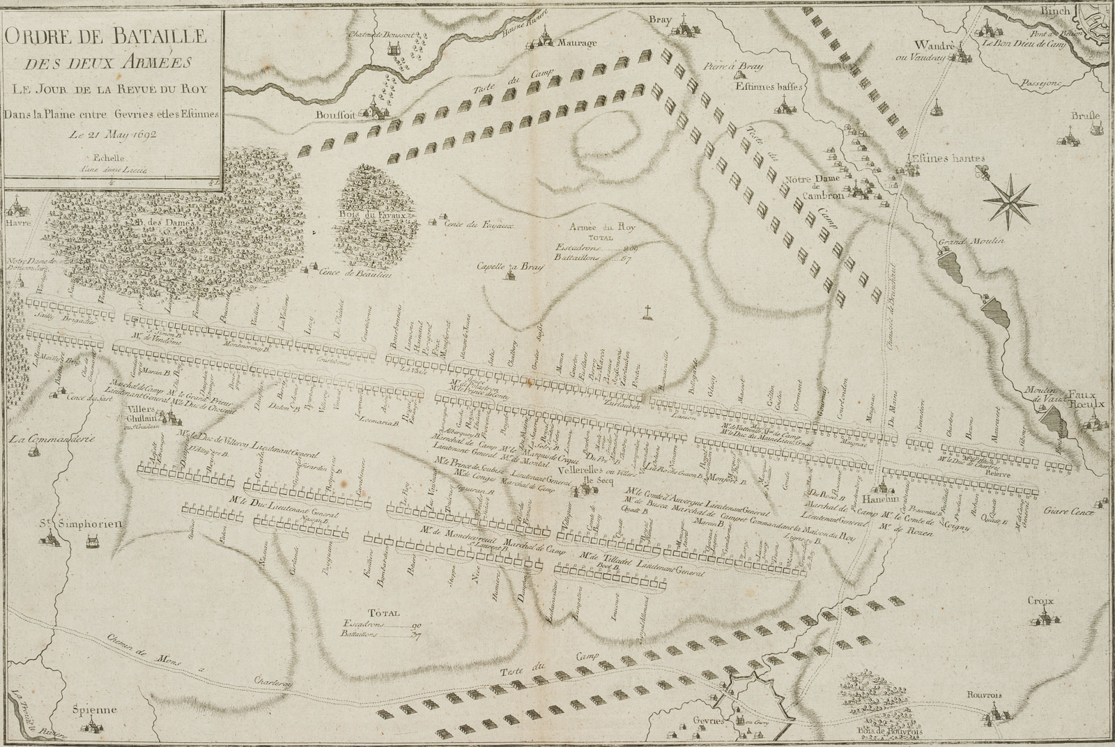
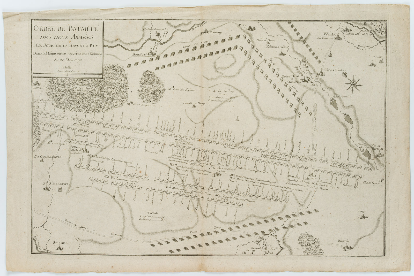
Unbekannt (17. Jahrhundert), Militärische Aufstellung, “Ordre de Bataille”, Gevries & Estinnes, 1692, Kupferstich
- Technik: Kupferstich auf Büttenpapier
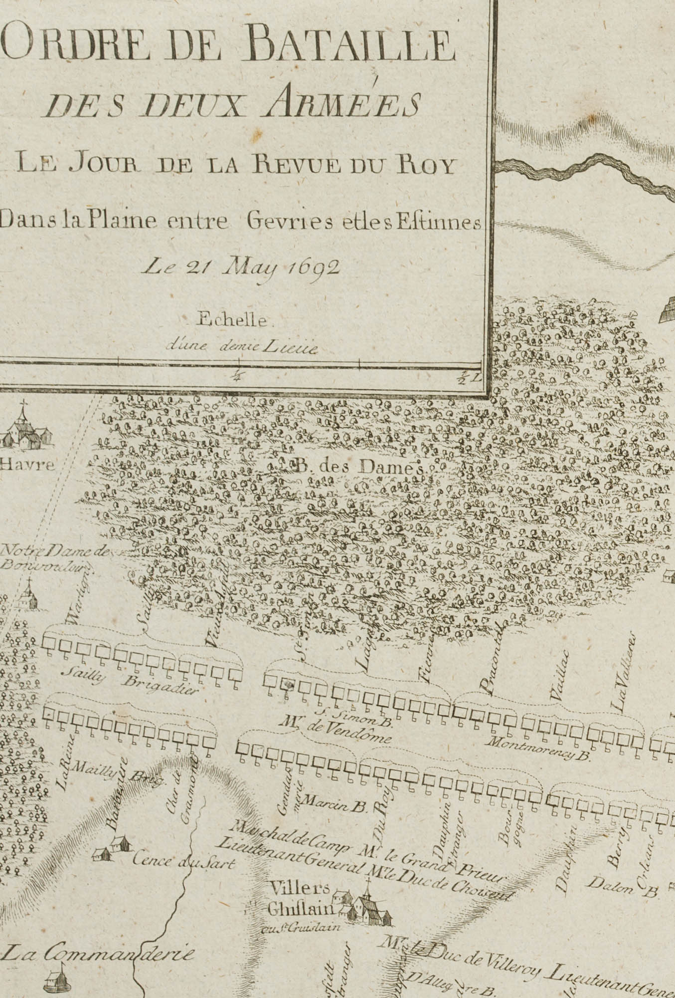
- Bezeichnung: Links oben in der Titelkartusche betitelt: “ORDRE DE BATAILLE DES DEUX ARMEES le jour de la revue du Roy dans la Plaine entre Gevries et les Estinnes : le 21 May 1692”.
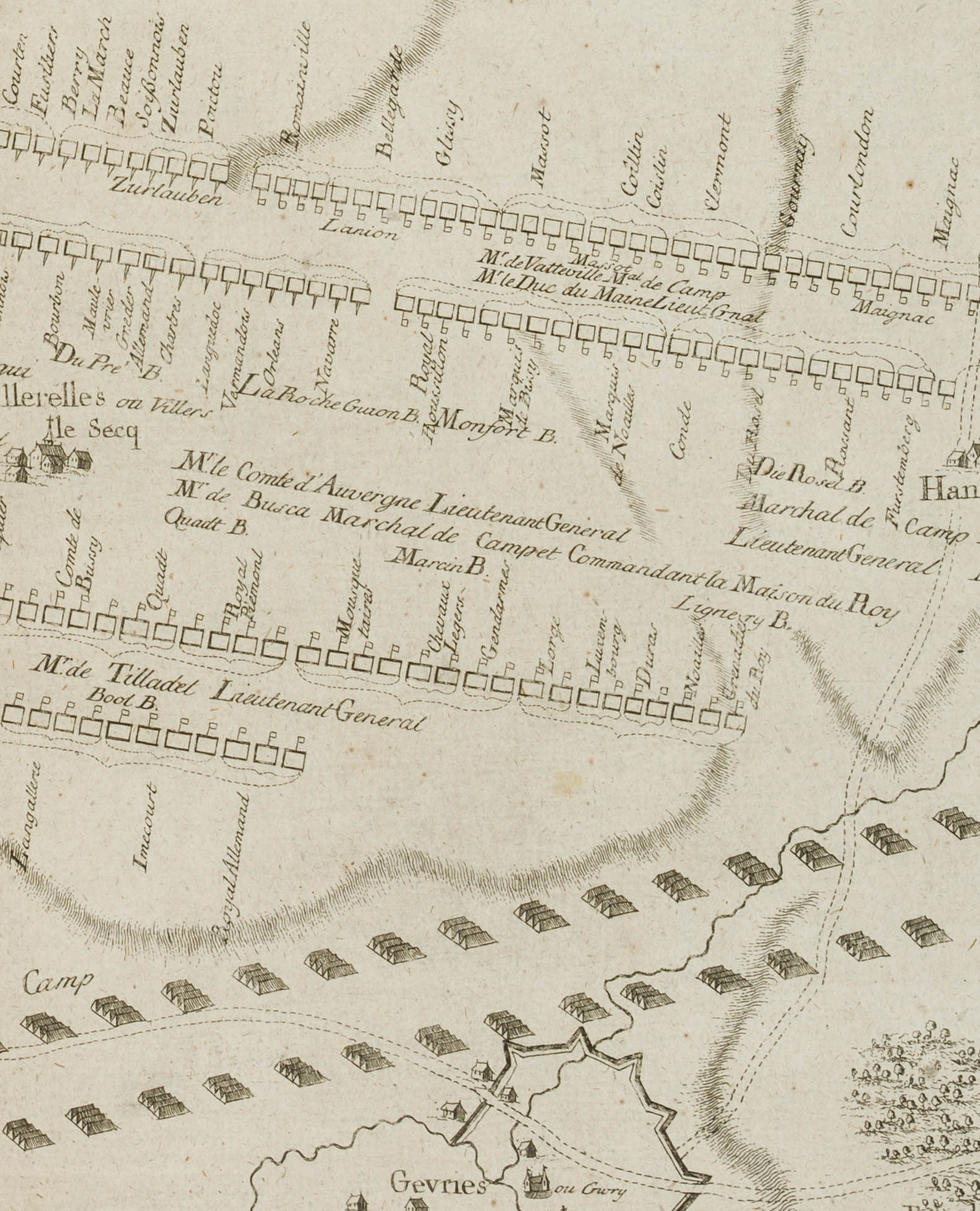
Das vorliegende Blatt zeigt anschaulich und mit Beschriftungen die strategische militärische Aufstellung der Truppen auf der Ebene.
Aus einem berühmten Antiquariat aus München. - Datierung: 1692
- Schlagworte: Landkarten, Militär, Belgien, Gegenständlich, 1650-1699
- Größe: 36,4 cm x 56,1 cm, Druckplatte: 34,4 cm x 50,4 cm, Darstellung: 32,7 cm x 49,0 cm
- Zustand: Guter Zustand. Die Karte ist altersgemäß gebräunt und stockfleckig, im Rand stellenweise mit Knickspuren; mit Flüssigkeitsflecken im rechten oberen Randbereich. Das Blatt wurde über die Mitte vertikal gefaltet. Die Darstellung macht einen frischen Eindruck.
English Version:
Unknown (17th century), Military formation, “Ordre de Bataille”, Gevries & Estinnes, 1692, Copper engraving
- Technique: Copper engraving on
- Inscription: Titled at upper left in the title cartouche: “ORDRE DE BATAILLE DES DEUX ARMEES le jour de la revue du Roy dans la Plaine entre Gevries et les Estinnes : le 21 May 1692”.
The present sheet shows vividly and with inscriptions the strategic military deployment of troops on the plain.
From a famous antiquarian bookshop in Munich. - Date: 1692
- Keywords: 17th century, Figurative, Maps, Belgium,
- Size: 36,4 cm x 56,1 cm (14,3 x 22,1 in), Plate: 34,4 cm x 50,4 cm (13,5 x 19,8 in), Depiction: 32,7 cm x 49,0 cm (12,9 x 19,3 in)
- Condition: Good condition. The map is browned and foxed due to its age, in places with crease marks in the margin; with liquid stains in the upper right margin. The sheet has been folded vertically across the centre. The image makes a fresh impression.

