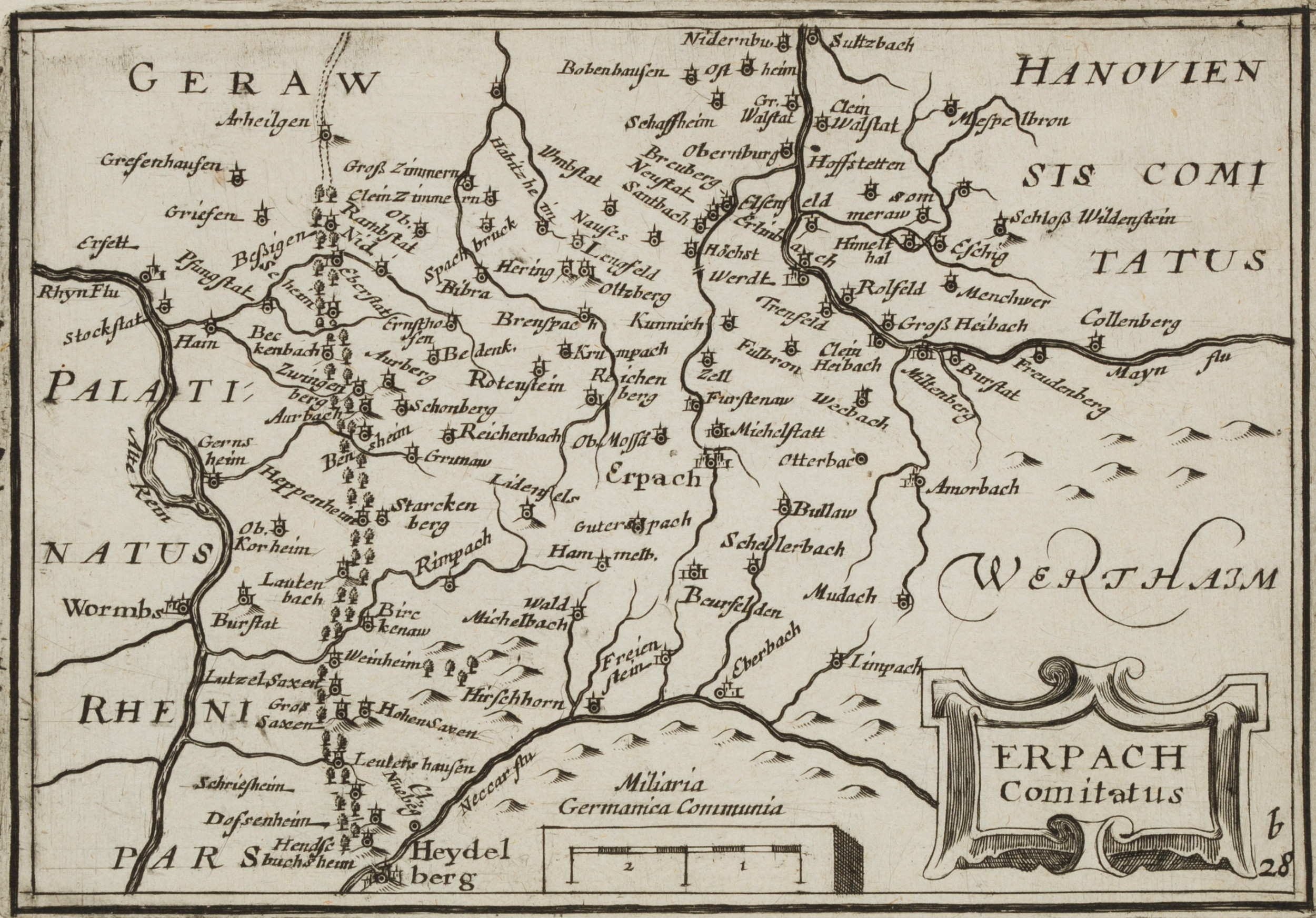
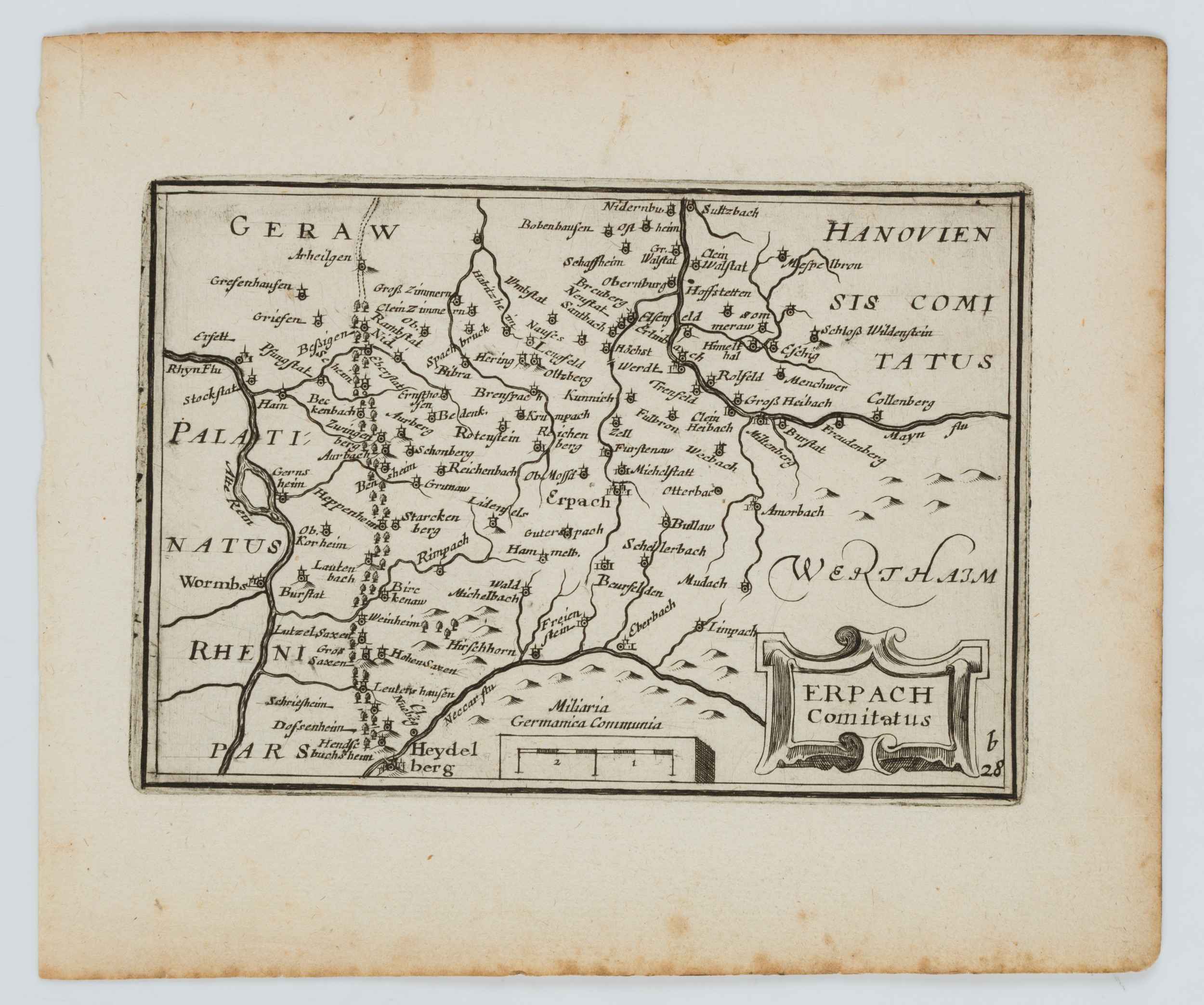
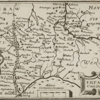
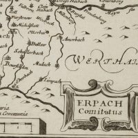
Unbekannt (18. Jahrhundert), Erpach Comitatus. Karte des Erbacher Landkreises, um 1800, Kupferstich
- Technik: Kupferstich auf Papier
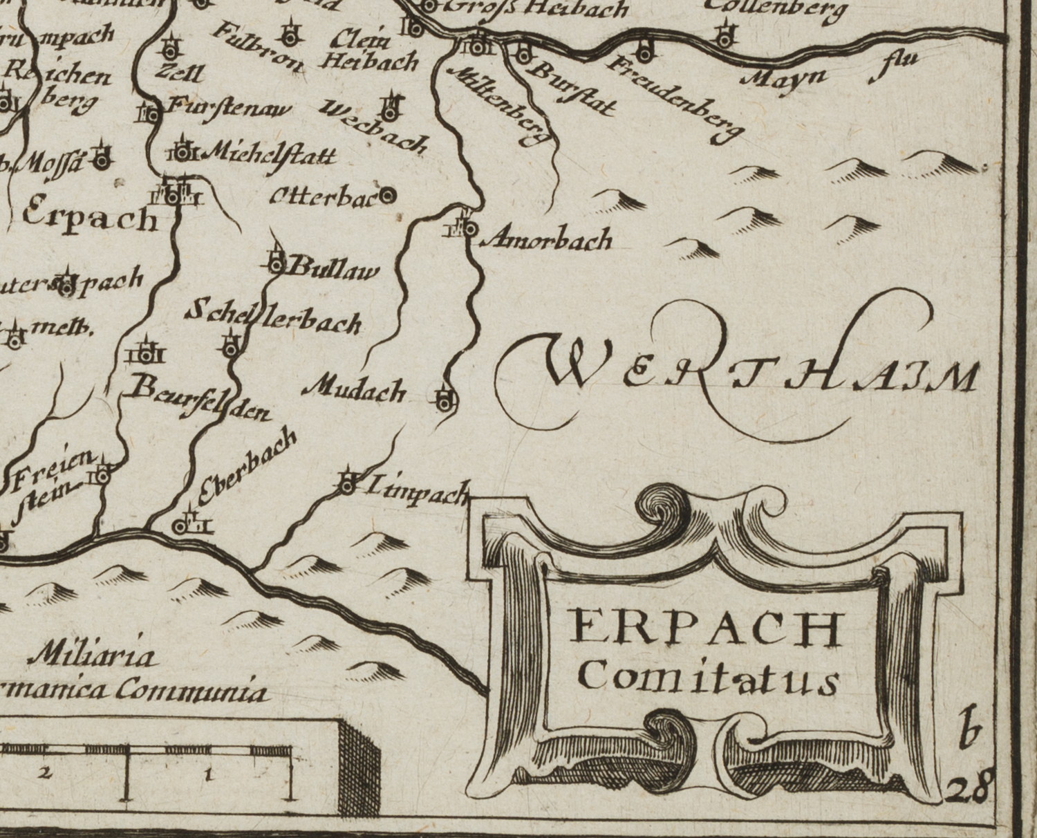
- Bezeichnung: Unten rechts im Druck nummeriert: “b28”.
- Datierung: um 1800
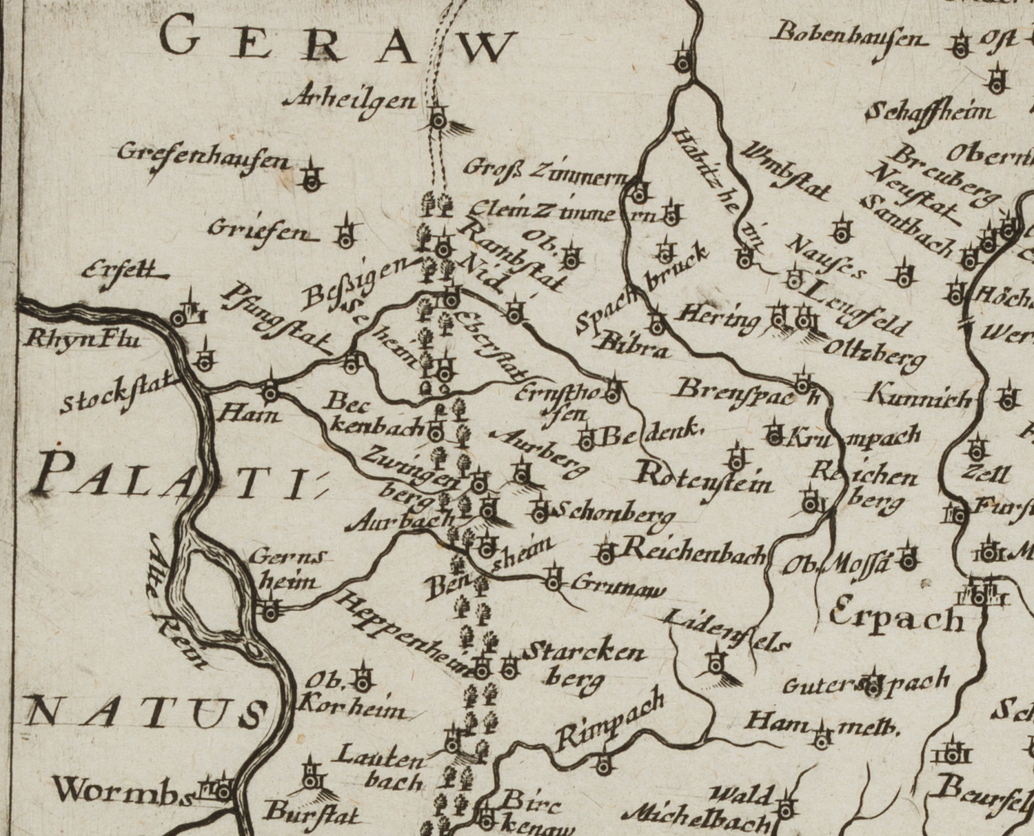
- Beschreibung: Landkarte des Odenwalds und der Bergstraße mit Erbach im Zentrum. Rechts unten mit titelgebender Kartusche
- Schlagworte: Großherzogtum Hessen, Landratsbezirk, Regierungsbezirk, historische Karte, Kartographie, Landkarten, Deutschland, Erbach, Klassizismus, 1800-1849
- Größe: 13,4 cm x 16,0 cm, Druckplatte: 8,8 cm x 12,7 cm, Darstellung: 8,7 cm x 12,6 cm
- Zustand: Guter Zustand. Um die Ränder mit Stockflecken. Blatteinriss am Blattrand links oben. Knick über Blattecke links unten.
English Version:
Unknown (18th century), Erpach Comitatus Map of the Erbach County, c. 1800, Copper engraving
- Technique: Copper engraving on Paper
- Inscription: Lower right numbered in the printing plate: “b28”.
- Date: c. 1800
- Description: Map of the Odenwald and the Bergstrasse with Erbach in the centre. Lower right with titled cartouche
- Keywords: Grand Duchy of Hesse, district, administrative district, historical map, cartography, 19th century, Classicism, Maps, Germany,
- Size: 13,4 cm x 16,0 cm (5,3 x 6,3 in), Plate: 8,8 cm x 12,7 cm (3,5 x 5 in), Depiction: 8,7 cm x 12,6 cm (3,4 x 5 in)
- Condition: Good condition. Around the margins with foxing. Tear at upper left margin. Crease over sheet corner lower left

