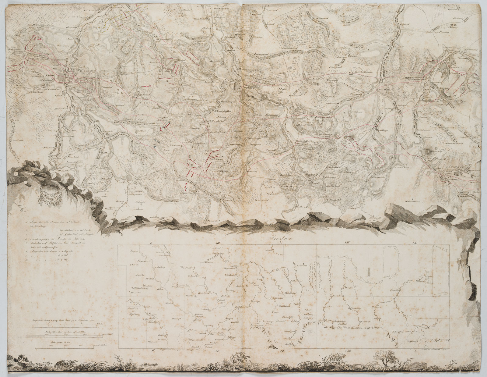
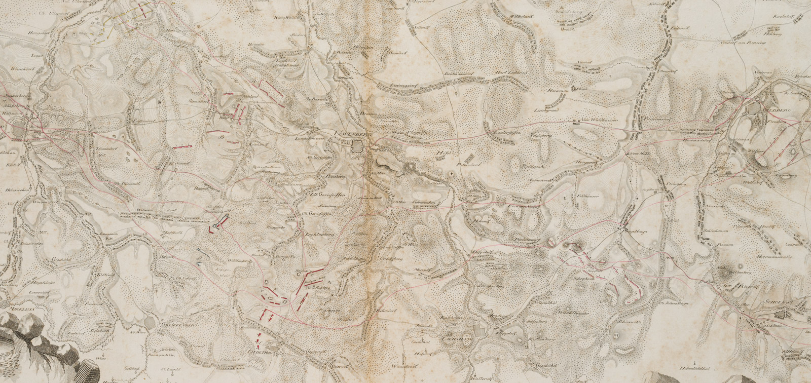
Unbekannt (18. Jahrhundert), Militärische Karte mit strategischen Aufstellungen der österreichischen und preußischen Truppen. Schlacht bei Liegnitz. August 1760. Schlesien, 1804, Kupferstich
- Technik: Kupferstich auf Papier
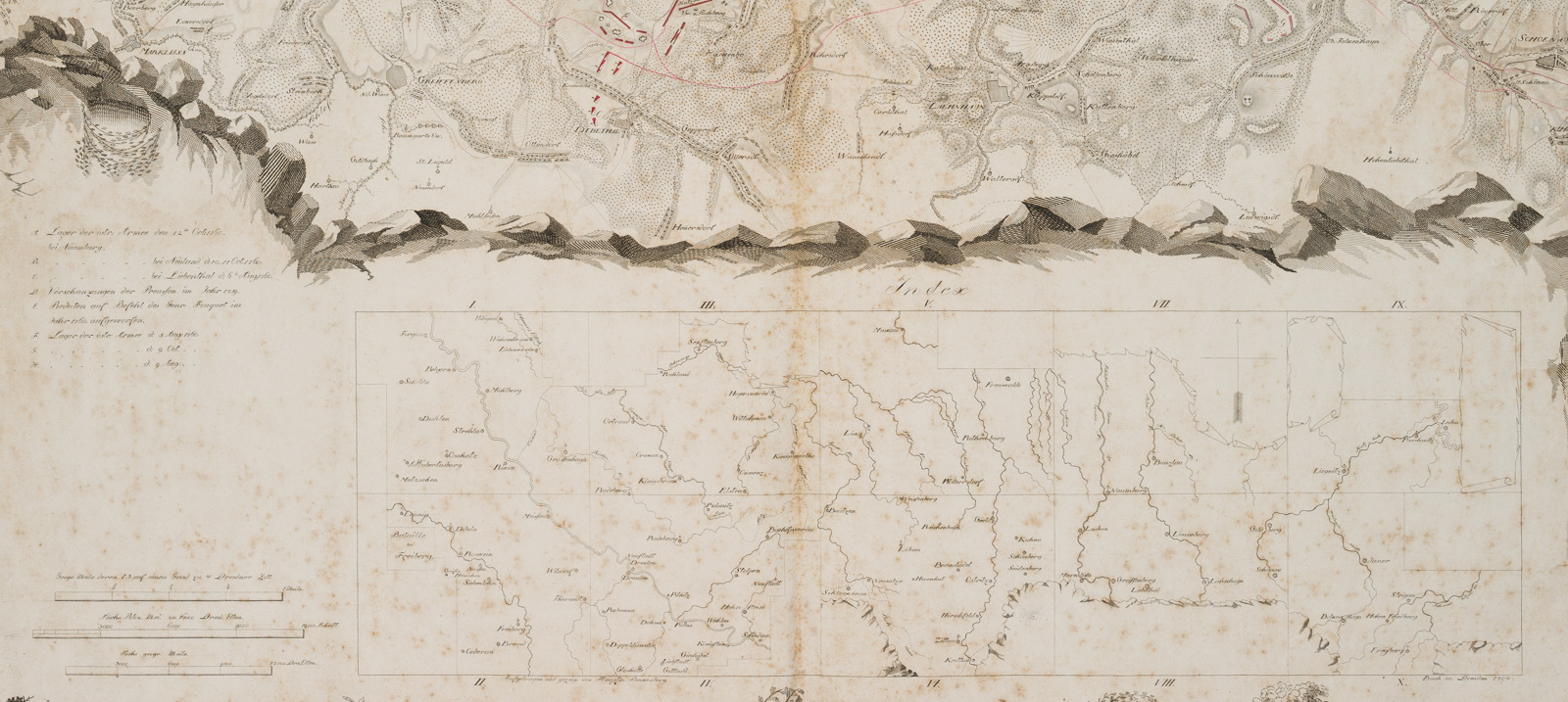
- Bezeichnung: Unterhalb mit Index, Legende und Maßstableiste, die sich durch eine Umrahmung aus Buschwerk und Gesteinsornamenten von der oberen Mappe absetzen. Unterhalb des Index signiert und datiert mit links “aufgetragen und gezeigt von Hauptmann Backenberg” und rechts “Bach sc Dresden 1804”.
- Datierung: 1804
- Beschreibung: Die Karte von Schlesien zeigt die Abläufe der Auseinandersetzungen während des 7-jährigen Krieges.
- Schlagworte: Landkarten, Militär, Deutschland, Figürlich, 1800-1849
- Größe: 52,8 cm x 68,0 cm
- Zustand: Guter Zustand. Senkrecht über die Mitte gefaltet. Die Karte trägt Gebrauchsspuren. Mit Läsuren an den Rändern und Ecken: Stoßspuren, kurze Einrisse. Das Blatt ist stockfleckig. Das Papier trägt an den Ecken teils Knitterfalten.
English Version:
Unknown (18th century), Military map with strategic deployments of Austrian and Prussian troops Battle of Liegnitz August 1760 Silesia, 1804, Copper engraving
- Technique: Copper engraving on Paper
- Inscription: Below with index, legend and scale bar, set off from the upper portfolio by a border of bushes and stone ornaments. Signed and dated below the index with “aufgetragen und gezeigt von Hauptmann Backenberg” on the left and “Bach sc Dresden 1804” on the right.
- Date: 1804
- Description: The map of Silesia shows the course of the conflicts during the Seven Years’ War.
- Keywords: 19th century, Figurative, Maps, Germany,
- Size: 52,8 cm x 68,0 cm (20,8 x 26,8 in)
- Condition: Good condition. Folded vertically across the centre. The map shows signs of use. With lesions at the margins and corners: bump marks, short tears. The sheet is foxed. The paper is partly creased at the corners.


