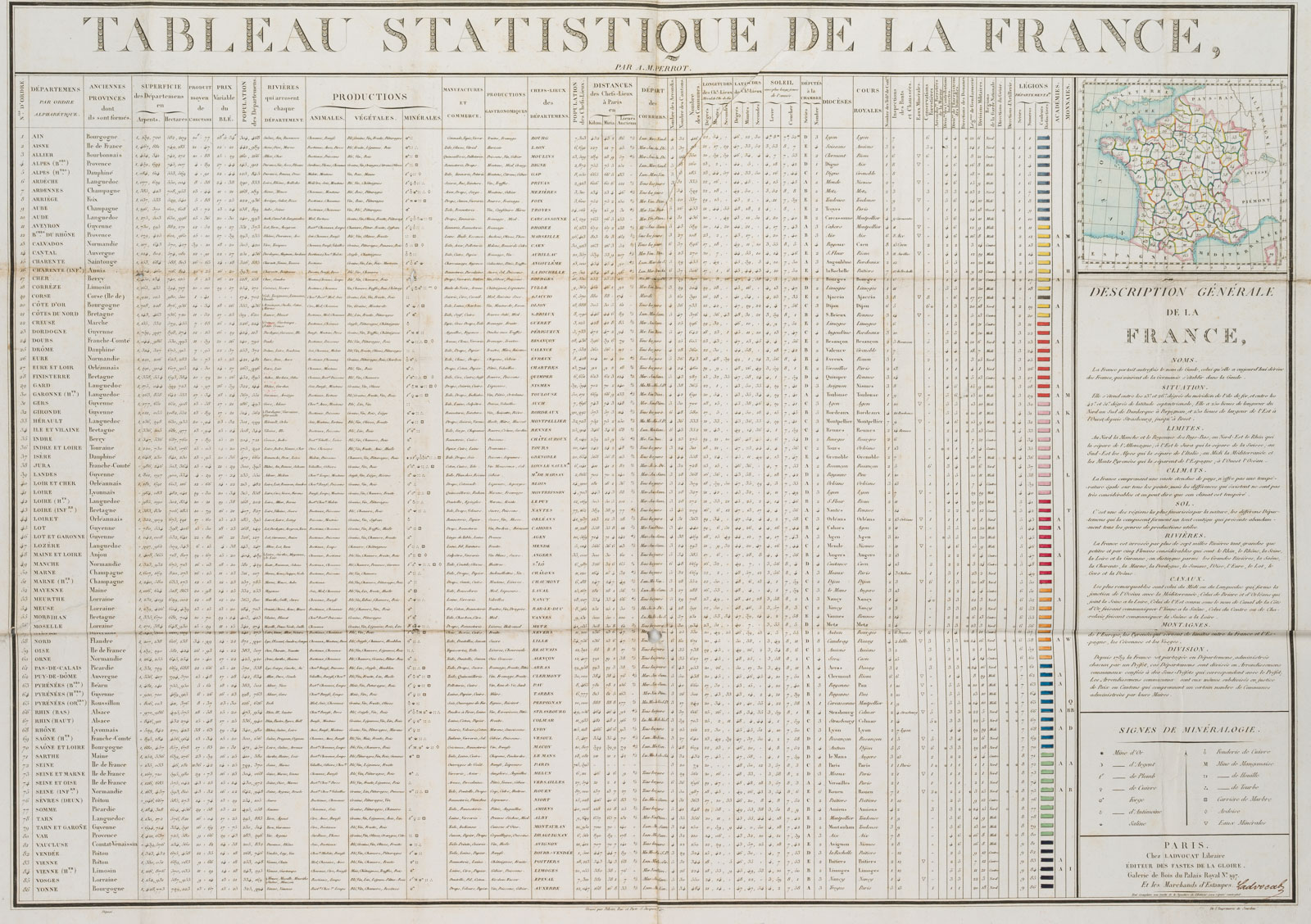
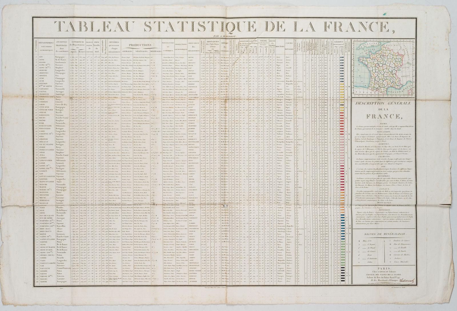
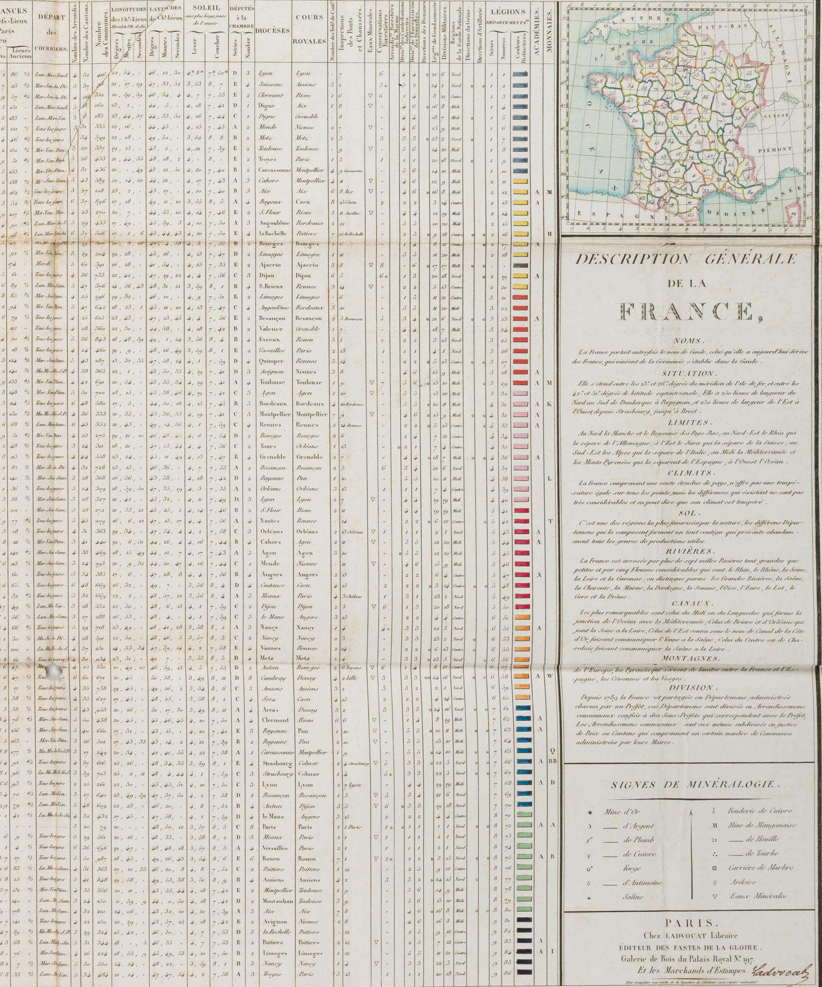
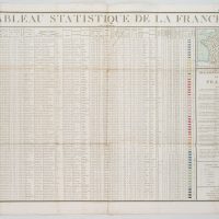
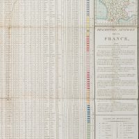
A. M. Perrot (19. Jahrhundert), ‘Tableau Statistique de la France’, Statistische Daten über Frankreich. Population. Klima. Produktion und Wirtschaft etc., 19. Jahrhundert, Radierung
- Technik: Radierung auf Papier
- Bezeichnung: Unterhalb des Titels signiert.
- Datierung: 19. Jahrhundert
- Beschreibung: Mit einer Frankreichkarte und kurzen Informationstexten.
- Schlagworte: Landkarten, Politik, Frankreich, Realismus, 1800-1849
- Größe: 58,3 cm x 88,0 cm, Druckplatte: 55,7 cm x 77,8 cm, Darstellung: 52,0 cm x 74,8 cm
- Zustand: Guter Zustand. Noch guter Zustand. Die Karte trägt Gebrauchsspuren. An den Falzkreuzen stellenweise mit Löchern. Die Ränder sind unbeschnitten und bestoßen. An den Falzen tragen die Ränder stellenweise kurze Einrisse. Mit einer Quetschfalte mittig oben quer über das Papier. An den Rändern ist das Papier stockfleckig.
English Version:
A. M. Perrot (19th century), Tableau Statistique de la France’, Statistical data on France Population Climate Production and economy etc, 19th century, Etching
- Technique: Etching on Paper
- Inscription: Signed below the title.
- Date: 19th century
- Description: With a map of France and short information texts.
- Keywords: 19th century, Realism, Maps, France,
- Size: 58,3 cm x 88,0 cm (23 x 34,6 in), Plate: 55,7 cm x 77,8 cm (21,9 x 30,6 in), Depiction: 52,0 cm x 74,8 cm (20,5 x 29,4 in)
- Condition: Good condition. Still in good condition. The map shows signs of use. With holes at the folding crosses in places. The margins are untrimmed and bumped. At the folds the margins bear short tears in places. With a box pleat centrally at the top across the paper. The paper is foxed at the margins.

